El Playón night lights from space
Night Light of El Playón (Santander) from space (Colombia) Src. Average luminocity for 10x10km area is 0.474% and for 50x50km: 0.1626%.
Analysis of El Playón night lights 2016
Square area 10x10 km:
 0%
0%90-99
0%80-89
0%70-79
0%60-69
0%50-59
0%40-49
0%30-39
0.87%20-29
0%10-19
0%0-9
99.13%Square area 50x50 km:
0%90-99
0%80-89
0%70-79
0.03%60-69
0.03%50-59
0.03%40-49
0.03%30-39
0.1%20-29
0.03%10-19
0.07%0-9
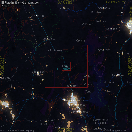
99.67%Clear (daylight) street map image can be seen on geolist.org.
Map coordinates:
8° 10' 4.4" North, 73° 54' 22.4" West
7° 28' 16.7" North, 73° 12' 11.2" West
6° 46' 25" North, 72° 29' 59.9" West
Some cities around El Playón sort by population:
• Bucaramanga
39.5 km =24.5 mi,  166°
166°
• Floridablanca
47.3 km =29.4 mi,  164°
164°
• Girón
45 km =28 mi,  175°
175°
• Piedecuesta
56.4 km =35 mi, 162°
• Pamplona
62.1 km =38.6 mi,  99°
99°
• Sabana de Torres
33.5 km =20.8 mi,  254°
254°
• San Alberto
38.4 km =23.9 mi,  327°
327°
• Lebrija
39.9 km =24.8 mi, 182°
3792399 (p: 5,334)
Sources (retrieved 2019-11-25):
» Earth at Night: Flat Maps 2012, 2016