San Agustín night lights from space
Night Light of San Agustín (Huila) from space (Colombia) Src. Average luminocity for 10x10km area is 4.4567% and for 50x50km: 1.2319%.
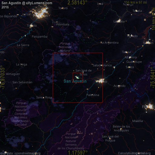
Analysis of San Agustín night lights 2016
Square area 10x10 km:
 0%
0%90-99
0.65%80-89
1.08%70-79
0.87%60-69
1.73%50-59
0.87%40-49
0%30-39
0%20-29
0%10-19
0%0-9
94.81%Square area 50x50 km:
0.14%90-99
0.3%80-89
0.11%70-79
0.09%60-69
0.15%50-59
0.23%40-49
0.21%30-39
0.08%20-29
0.07%10-19
0.77%0-9
97.85%Clear (daylight) street map image can be seen on geolist.org.
Map coordinates:
2° 34' 53.1" North, 76° 58' 13.3" West
1° 52' 43.8" North, 76° 16' 2" West
1° 10' 33.5" North, 75° 33' 50.8" West
Some cities around San Agustín sort by population:
• Popayán
73.1 km =45.4 mi,  328°
328°
• Florencia
79.1 km =49.2 mi,  111°
111°
• Pitalito
24.2 km =15 mi,  96°
96°
• Garzón
79.3 km =49.3 mi,  63°
63°
• La Plata
70.8 km =44 mi,  36°
36°
• Timaná
38.7 km =24 mi,  74°
74°
• Silvia
82.9 km =51.5 mi,  351°
351°
• Isnos
7 km =4.3 mi,  25°
25°
3670260 (p: 9,481)
Sources (retrieved 2019-11-25):
» Earth at Night: Flat Maps 2012, 2016