Garzón night lights from space
Night Light of Garzón (Huila) from space (Colombia) Src. Average luminocity for 10x10km area is 12.2078% and for 50x50km: 1.379%.
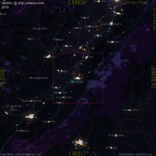
Analysis of Garzón night lights 2016
Square area 10x10 km:
 1.52%
1.52%90-99
1.08%80-89
3.03%70-79
2.16%60-69
1.73%50-59
0%40-49
0.87%30-39
3.25%20-29
1.08%10-19
1.52%0-9
83.77%Square area 50x50 km:
0.06%90-99
0.18%80-89
0.3%70-79
0.25%60-69
0.28%50-59
0.07%40-49
0.17%30-39
0.27%20-29
0.19%10-19
0.14%0-9
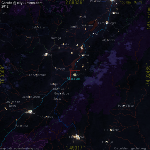
98.09%Clear (daylight) street map image can be seen on geolist.org.
Map coordinates:
2° 53' 54.1" North, 76° 19' 51.2" West
2° 11' 45.3" North, 75° 37' 40" West
1° 29' 35.4" North, 74° 55' 28.7" West
Some cities around Garzón sort by population:
• Pitalito
60.5 km =37.6 mi,  231°
231°
• Belalcázar
63.1 km =39.2 mi,  322°
322°
• La Plata
36.7 km =22.8 mi,  306°
306°
• Puerto Rico
61 km =37.9 mi,  121°
121°
• Algeciras
50.2 km =31.2 mi,  43°
43°
• Gigante
23 km =14.3 mi,  22°
22°
• Timaná
42 km =26.1 mi, 233°
• Yaguará
53.4 km =33.2 mi,  13°
13°
3682108 (p: 29,451)
Sources (retrieved 2019-11-25):
» Earth at Night: Flat Maps 2012, 2016