Florencia night lights from space
Night Light of Florencia (Caquetá) from space (Colombia) Src. Average luminocity for 10x10km area is 31.0238% and for 50x50km: 1.6787%.
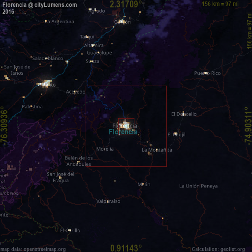
Analysis of Florencia night lights 2016
Square area 10x10 km:
 5.63%
5.63%90-99
7.14%80-89
2.16%70-79
2.6%60-69
5.19%50-59
3.46%40-49
3.68%30-39
2.16%20-29
2.16%10-19
37.01%0-9
28.79%Square area 50x50 km:
0.24%90-99
0.3%80-89
0.1%70-79
0.12%60-69
0.22%50-59
0.19%40-49
0.26%30-39
0.22%20-29
0.21%10-19
1.55%0-9
96.58%Clear (daylight) street map image can be seen on geolist.org.
Map coordinates:
2° 19' 1.5" North, 76° 18' 33.7" West
1° 36' 51.8" North, 75° 36' 22.4" West
0° 54' 41.1" North, 74° 54' 11.2" West
Some cities around Florencia sort by population:
• Pitalito
56.1 km =34.9 mi,  298°
298°
• Garzón
64.7 km =40.2 mi,  357°
357°
• El Doncello
36.4 km =22.6 mi,  78°
78°
• Puerto Rico
59.6 km =37 mi,  56°
56°
• Curillo
73.4 km =45.6 mi,  208°
208°
• Timaná
53.7 km =33.4 mi,  317°
317°
• El Paujíl
31.2 km =19.4 mi,  99°
99°
• Isnos
79 km =49.1 mi, 296°
3682426 (p: 130,337)
Sources (retrieved 2019-11-25):
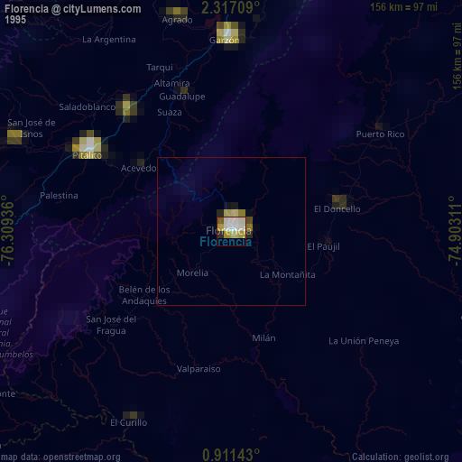
» NASA, Earths city lights 1995
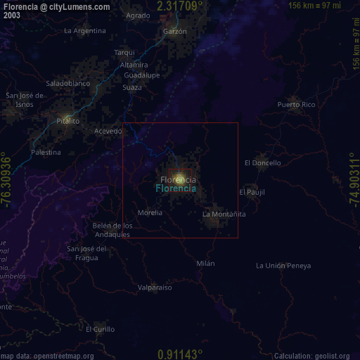
» NASA city lights 2003
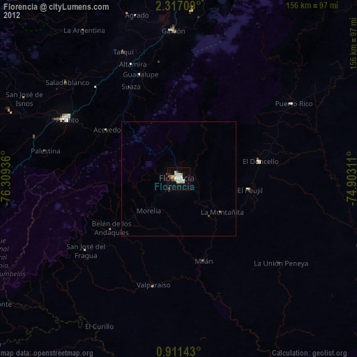
» Earth at Night: Flat Maps 2012, 2016