Riohacha night lights from space
Night Light of Riohacha (La Guajira) from space (Colombia) Src. Average luminocity for 10x10km area is 36.1883% and for 50x50km: 2.1441%.
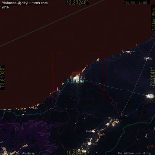
Analysis of Riohacha night lights 2016
Square area 10x10 km:
 6.93%
6.93%90-99
5.19%80-89
4.33%70-79
2.6%60-69
12.77%50-59
0.43%40-49
3.68%30-39
2.81%20-29
5.84%10-19
36.15%0-9
19.26%Square area 50x50 km:
0.27%90-99
0.2%80-89
0.2%70-79
0.13%60-69
0.66%50-59
0.45%40-49
0.16%30-39
0.18%20-29
0.26%10-19
1.76%0-9
95.74%Clear (daylight) street map image can be seen on geolist.org.
Map coordinates:
12° 13' 56.9" North, 73° 36' 37.3" West
11° 32' 40" North, 72° 54' 26" West
10° 51' 17" North, 72° 12' 14.8" West
Some cities around Riohacha sort by population:
• Maicao
75.1 km =46.7 mi,  104°
104°
• San Juan del Cesar
86.6 km =53.8 mi,  186°
186°
• Fonseca
73.5 km =45.7 mi,  175°
175°
• Barrancas
66.5 km =41.3 mi,  169°
169°
• Manaure
56.5 km =35.1 mi,  63°
63°
• Uribia
72.4 km =45 mi,  74°
74°
• Albania
54.7 km =34 mi,  141°
141°
• El Molino
99.1 km =61.6 mi, 181°
3670745 (p: 92,431)
Sources (retrieved 2019-11-25):
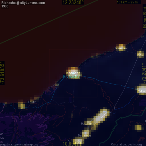
» NASA, Earths city lights 1995
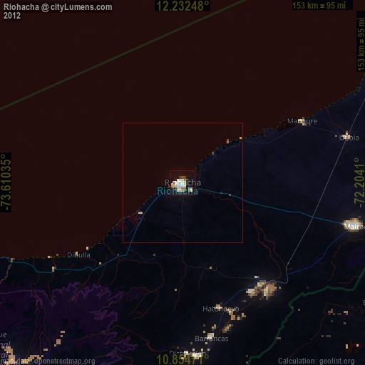
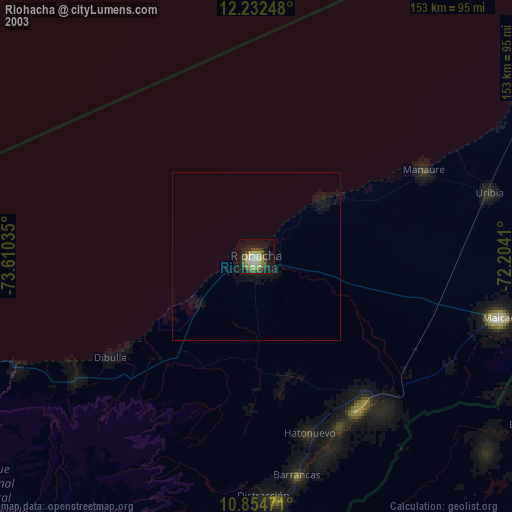
» NASA city lights 2003
» Earth at Night: Flat Maps 2012, 2016