San Juan del Cesar night lights from space
Night Light of San Juan del Cesar (La Guajira) from space (Colombia) Src. Average luminocity for 10x10km area is 8.126% and for 50x50km: 2.6461%.
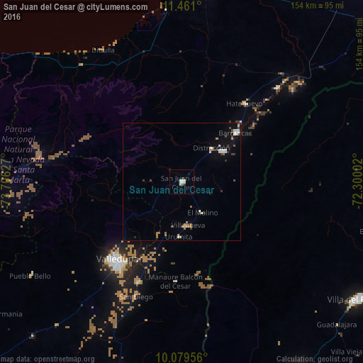
Analysis of San Juan del Cesar night lights 2016
Square area 10x10 km:
 2.27%
2.27%90-99
1.45%80-89
2.07%70-79
0%60-69
0%50-59
0.83%40-49
0.21%30-39
0.62%20-29
0.83%10-19
1.03%0-9
90.7%Square area 50x50 km:
0.47%90-99
0.4%80-89
0.25%70-79
0.08%60-69
0.5%50-59
0.28%40-49
0.34%30-39
0.45%20-29
0.13%10-19
0.83%0-9
96.25%Clear (daylight) street map image can be seen on geolist.org.
Map coordinates:
11° 27' 39.6" North, 73° 42' 22.6" West
10° 46' 15.9" North, 73° 0' 11.3" West
10° 4' 46.4" North, 72° 18' 0.1" West
Some cities around San Juan del Cesar sort by population:
• Valledupar
43.8 km =27.2 mi,  218°
218°
• Fonseca
21.2 km =13.2 mi,  52°
52°
• Villanueva
18.4 km =11.4 mi,  171°
171°
• Barrancas
30.7 km =19.1 mi, 47°
• La Paz
46.8 km =29.1 mi,  203°
203°
• Urumita
23.6 km =14.7 mi,  182°
182°
• Manaure Balcón del Cesar
42.2 km =26.2 mi, 184°
• El Molino
15.7 km =9.8 mi,  146°
146°
3669469 (p: 26,848)
Sources (retrieved 2019-11-25):
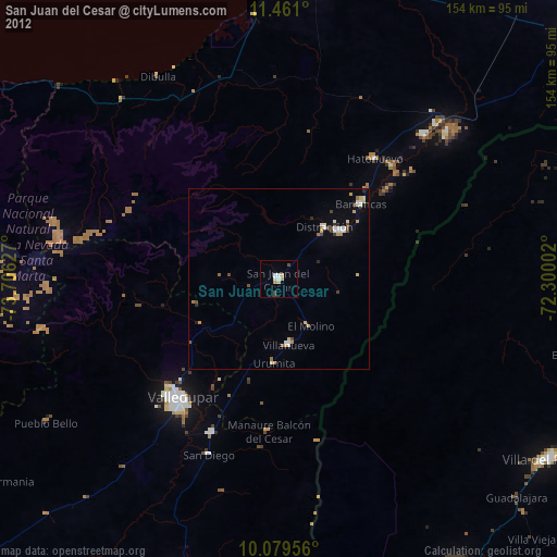
» Earth at Night: Flat Maps 2012, 2016