Manaure night lights from space
Night Light of Manaure (La Guajira) from space (Colombia) Src. Average luminocity for 10x10km area is 4.8781% and for 50x50km: 0.4572%.
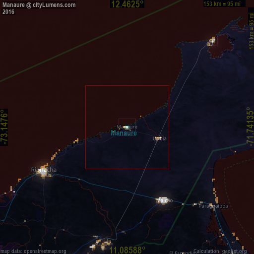
Analysis of Manaure night lights 2016
Square area 10x10 km:
 0.41%
0.41%90-99
0.41%80-89
0.83%70-79
0%60-69
0.83%50-59
1.65%40-49
0.41%30-39
2.89%20-29
0%10-19
0%0-9
92.56%Square area 50x50 km:
0.03%90-99
0.03%80-89
0.03%70-79
0.07%60-69
0.1%50-59
0.17%40-49
0.04%30-39
0.18%20-29
0.02%10-19
0%0-9
99.33%Clear (daylight) street map image can be seen on geolist.org.
Map coordinates:
12° 27' 45" North, 73° 8' 51.4" West
11° 46' 30.2" North, 72° 26' 40.1" West
11° 5' 9.2" North, 71° 44' 28.9" West
Some cities around Manaure sort by population:
• Maicao
49.4 km =30.7 mi,  153°
153°
• Riohacha
56.5 km =35.1 mi,  243°
243°
• San Juan del Cesar
127.2 km =79 mi,  208°
208°
• Fonseca
108.2 km =67.2 mi,  204°
204°
• Barrancas
98.7 km =61.3 mi, 202°
• Uribia
20.6 km =12.8 mi,  108°
108°
• Albania
70.2 km =43.6 mi,  193°
193°
• El Molino
135.3 km =84.1 mi, 202°
3675504 (p: 9,703)
Sources (retrieved 2019-11-25):
» Earth at Night: Flat Maps 2012, 2016