Puerto Boyacá night lights from space
Night Light of Puerto Boyacá (Boyacá) from space (Colombia) Src. Average luminocity for 10x10km area is 7.5992% and for 50x50km: 0.9121%.
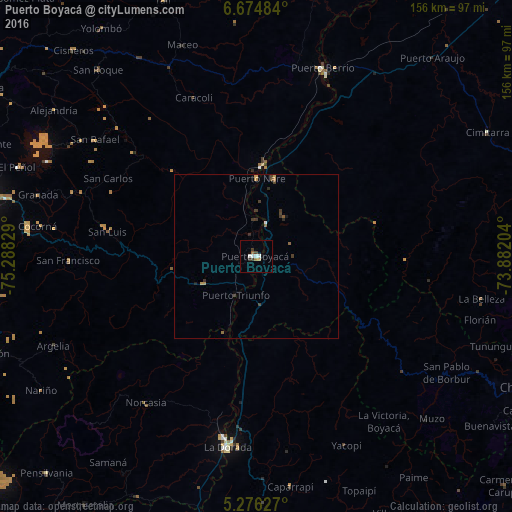
Analysis of Puerto Boyacá night lights 2016
Square area 10x10 km:
 1.65%
1.65%90-99
1.65%80-89
0%70-79
1.24%60-69
0.41%50-59
0.83%40-49
0.41%30-39
2.89%20-29
0%10-19
0.83%0-9
90.08%Square area 50x50 km:
0.09%90-99
0.08%80-89
0%70-79
0.21%60-69
0.12%50-59
0.15%40-49
0.15%30-39
0.44%20-29
0.12%10-19
0.12%0-9
98.53%Clear (daylight) street map image can be seen on geolist.org.
Map coordinates:
6° 40' 29.4" North, 75° 17' 17.8" West
5° 58' 33.6" North, 74° 35' 6.6" West
5° 16' 34.6" North, 73° 52' 55.3" West
Some cities around Puerto Boyacá sort by population:
• La Dorada
59.4 km =36.9 mi,  188°
188°
• Muzo
72 km =44.7 mi,  132°
132°
• San Carlos
50.9 km =31.6 mi,  297°
297°
• San Rafael
60.2 km =37.4 mi,  305°
305°
• Norcasia
55.8 km =34.7 mi,  216°
216°
• Granada
68.9 km =42.8 mi,  285°
285°
• Guatapé
70.1 km =43.6 mi, 294°
• Cocorná
67 km =41.6 mi,  277°
277°
3671531 (p: 27,310)
Sources (retrieved 2019-11-25):
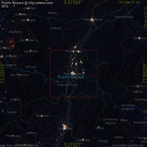
» Earth at Night: Flat Maps 2012, 2016