Norcasia night lights from space
Night Light of Norcasia (Caldas) from space (Colombia) Src. Average luminocity for 10x10km area is 0.9525% and for 50x50km: 0.6515%.
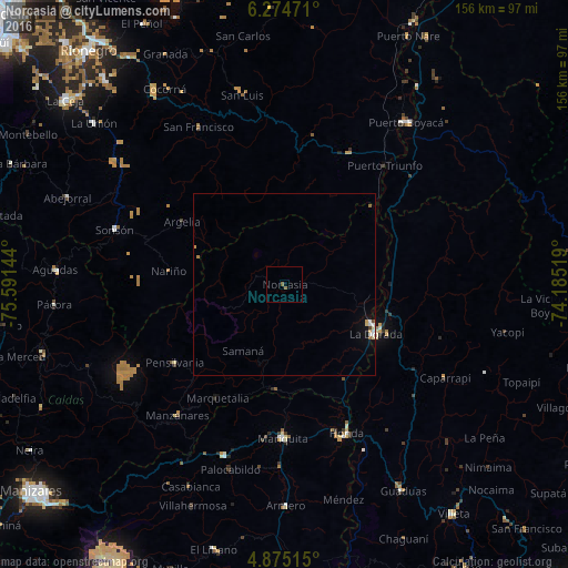
Analysis of Norcasia night lights 2016
Square area 10x10 km:
 0%
0%90-99
0%80-89
0%70-79
0%60-69
0%50-59
1.65%40-49
0%30-39
0%20-29
0%10-19
0%0-9
98.35%Square area 50x50 km:
0.09%90-99
0.14%80-89
0.1%70-79
0.1%60-69
0.07%50-59
0.09%40-49
0.05%30-39
0.02%20-29
0%10-19
0.21%0-9
99.13%Clear (daylight) street map image can be seen on geolist.org.
Map coordinates:
6° 16' 29" North, 75° 35' 29.2" West
5° 34' 31.3" North, 74° 53' 17.9" West
4° 52' 30.5" North, 74° 11' 6.7" West
Some cities around Norcasia sort by population:
• La Dorada
28.7 km =17.8 mi,  119°
119°
• Honda
44.1 km =27.4 mi,  157°
157°
• San Sebastián de Mariquita
41.9 km =26 mi,  180°
180°
• Sonsón
49.1 km =30.5 mi,  287°
287°
• Manzanares
46.3 km =28.8 mi,  219°
219°
• Puerto Salgar
28.7 km =17.8 mi, 115°
• Pensilvania
37 km =23 mi,  234°
234°
• Marquetalia
36.1 km =22.4 mi,  210°
210°
3673811 (p: 5,976)
Sources (retrieved 2019-11-25):
» Earth at Night: Flat Maps 2012, 2016