La Dorada night lights from space
Night Light of La Dorada (Caldas) from space (Colombia) Src. Average luminocity for 10x10km area is 20.781% and for 50x50km: 1.2064%.
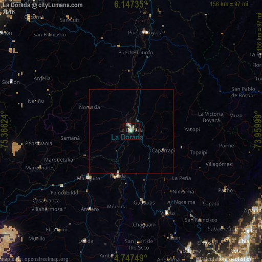
Analysis of La Dorada night lights 2016
Square area 10x10 km:
 2.07%
2.07%90-99
4.96%80-89
5.79%70-79
2.07%60-69
1.24%50-59
1.24%40-49
1.24%30-39
0.83%20-29
2.89%10-19
10.33%0-9
67.36%Square area 50x50 km:
0.09%90-99
0.22%80-89
0.26%70-79
0.12%60-69
0.05%50-59
0.12%40-49
0.09%30-39
0.17%20-29
0.19%10-19
0.49%0-9
98.21%Clear (daylight) street map image can be seen on geolist.org.
Map coordinates:
6° 8' 50.5" North, 75° 21' 58.5" West
5° 26' 52.2" North, 74° 39' 47.2" West
4° 44' 51" North, 73° 57' 36" West
Some cities around La Dorada sort by population:
• Honda
27.8 km =17.3 mi,  196°
196°
• San Sebastián de Mariquita
37.6 km =23.4 mi,  222°
222°
• Guaduas
43 km =26.7 mi,  169°
169°
• Puerto Salgar
1.9 km =1.2 mi,  29°
29°
• Marquetalia
46.5 km =28.9 mi,  248°
248°
• Norcasia
28.7 km =17.8 mi,  299°
299°
• Guayabal
52.5 km =32.6 mi,  208°
208°
• Falan
48.2 km =30 mi, 221°
3679277 (p: 81,950)
Sources (retrieved 2019-11-25):
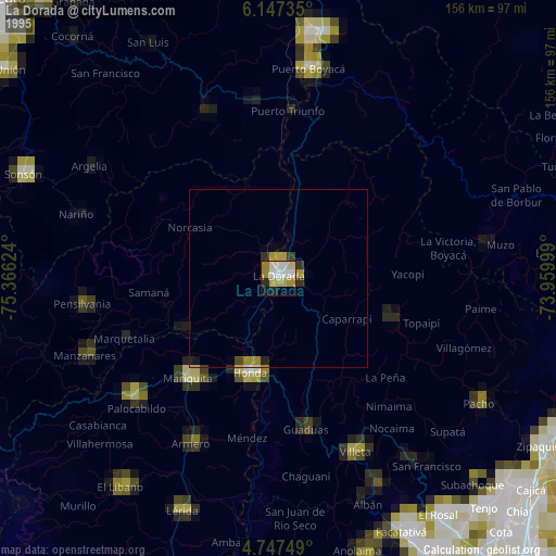
» NASA, Earths city lights 1995
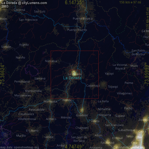
» NASA city lights 2003
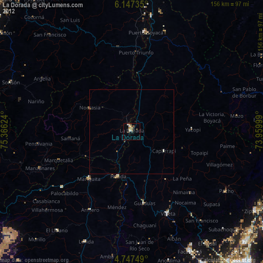
» Earth at Night: Flat Maps 2012, 2016