San Antonio night lights from space
Night Light of San Antonio (Magdalena) from space (Colombia) Src. Average luminocity for 10x10km area is 0.2169% and for 50x50km: 0.7757%.
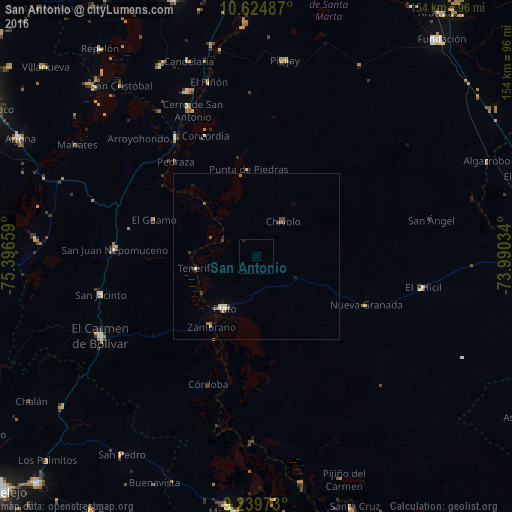
Analysis of San Antonio night lights 2016
Square area 10x10 km:
 0%
0%90-99
0%80-89
0%70-79
0%60-69
0%50-59
0%40-49
0%30-39
0%20-29
0.83%10-19
0%0-9
99.17%Square area 50x50 km:
0.06%90-99
0.14%80-89
0.03%70-79
0.03%60-69
0.12%50-59
0.19%40-49
0.12%30-39
0.27%20-29
0.17%10-19
0.1%0-9
98.77%Clear (daylight) street map image can be seen on geolist.org.
Map coordinates:
10° 37' 29.5" North, 75° 23' 47.7" West
9° 55' 58.9" North, 74° 41' 36.5" West
9° 14' 23" North, 73° 59' 25.2" West
Some cities around San Antonio sort by population:
• Plato
18.6 km =11.6 mi,  211°
211°
• San Juan Nepomuceno
42.6 km =26.5 mi,  272°
272°
• Chivolo
12.8 km =8 mi,  37°
37°
• Algarrobo
31.1 km =19.3 mi,  24°
24°
• Zambrano
24.6 km =15.3 mi, 212°
• Calamar
43.1 km =26.8 mi,  325°
325°
• Concordia
28.2 km =17.5 mi,  112°
112°
• Córdoba
41.3 km =25.7 mi,  200°
200°
3670107 (p: 8,476)
Sources (retrieved 2019-11-25):
» Earth at Night: Flat Maps 2012, 2016