Pailitas night lights from space
Night Light of Pailitas (Cesar) from space (Colombia) Src. Average luminocity for 10x10km area is 3.2987% and for 50x50km: 0.2788%.
Analysis of Pailitas night lights 2016
Square area 10x10 km:
 0%
0%90-99
0%80-89
0.87%70-79
0.87%60-69
0%50-59
1.08%40-49
0.87%30-39
1.52%20-29
0%10-19
0%0-9
94.81%Square area 50x50 km:
0.03%90-99
0.01%80-89
0.03%70-79
0.03%60-69
0.03%50-59
0.08%40-49
0.03%30-39
0.18%20-29
0%10-19
0.1%0-9
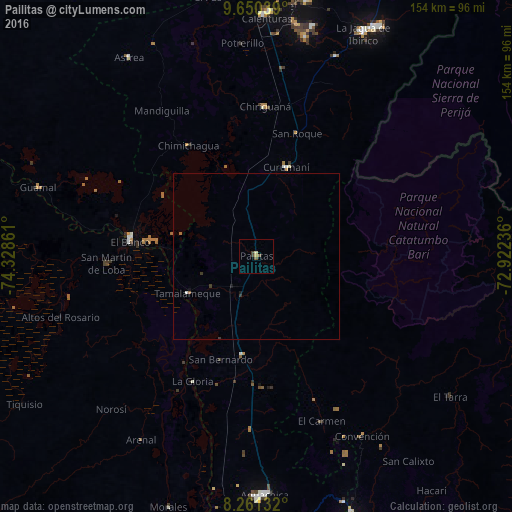
99.47%Clear (daylight) street map image can be seen on geolist.org.
Map coordinates:
9° 39' 1.4" North, 74° 19' 43" West
8° 57' 23.5" North, 73° 37' 31.7" West
8° 15' 40.8" North, 72° 55' 20.5" West
Some cities around Pailitas sort by population:
• El Banco
38.8 km =24.1 mi,  277°
277°
• Curumaní
28.5 km =17.7 mi,  18°
18°
• Chimichagua
39.3 km =24.4 mi,  328°
328°
• Chiriguaná
45.2 km =28.1 mi,  3°
3°
• Pelaya
30.1 km =18.7 mi,  188°
188°
• Río Viejo
47.3 km =29.4 mi,  209°
209°
• La Gloria
42.3 km =26.3 mi, 207°
• Barranco de Loba
52.8 km =32.8 mi,  268°
268°
3673379 (p: 10,480)
Sources (retrieved 2019-11-25):
» Earth at Night: Flat Maps 2012, 2016