Arenal night lights from space
Night Light of Arenal (Bolívar) from space (Colombia) Src. Average luminocity for 10x10km area is 0.4153% and for 50x50km: 0.2109%.
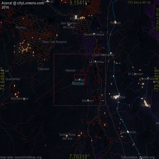
Analysis of Arenal night lights 2016
Square area 10x10 km:
 0%
0%90-99
0%80-89
0%70-79
0%60-69
0%50-59
0%40-49
0.83%30-39
0%20-29
0%10-19
0%0-9
99.17%Square area 50x50 km:
0%90-99
0.07%80-89
0.03%70-79
0.01%60-69
0.01%50-59
0.03%40-49
0.06%30-39
0.13%20-29
0%10-19
0.03%0-9
99.63%Clear (daylight) street map image can be seen on geolist.org.
Map coordinates:
9° 9' 14.8" North, 74° 38' 47.2" West
8° 27' 33.4" North, 73° 56' 35.9" West
7° 45' 47.5" North, 73° 14' 24.7" West
Some cities around Arenal sort by population:
• Aguachica
39.7 km =24.7 mi,  115°
115°
• Morales
22 km =13.7 mi,  158°
158°
• Pelaya
39.8 km =24.7 mi,  50°
50°
• Gamarra
26.8 km =16.7 mi, 124°
• Río Viejo
18.3 km =11.4 mi,  38°
38°
• La Gloria
23.5 km =14.6 mi, 41°
• El Carmen
54.8 km =34.1 mi,  84°
84°
• Altos del Rosario
44.3 km =27.5 mi,  326°
326°
3689653 (p: 5,346)
Sources (retrieved 2019-11-25):
» Earth at Night: Flat Maps 2012, 2016