San Pablo night lights from space
Night Light of San Pablo (Nariño) from space (Colombia) Src. Average luminocity for 10x10km area is 3.3485% and for 50x50km: 1.0364%.
Analysis of San Pablo night lights 2016
Square area 10x10 km:
 0%
0%90-99
0.22%80-89
0.65%70-79
1.3%60-69
0%50-59
0%40-49
0%30-39
1.3%20-29
1.3%10-19
1.73%0-9
93.51%Square area 50x50 km:
0%90-99
0.29%80-89
0.09%70-79
0.14%60-69
0.25%50-59
0.1%40-49
0.13%30-39
0.21%20-29
0.21%10-19
0.16%0-9
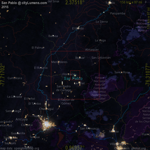
98.43%Clear (daylight) street map image can be seen on geolist.org.
Map coordinates:
2° 22' 30.6" North, 77° 43' 1.3" West
1° 40' 21" North, 77° 0' 50" West
0° 58' 10.5" North, 76° 18' 38.8" West
Some cities around San Pablo sort by population:
• Pasto
59 km =36.7 mi,  210°
210°
• Patía
44.3 km =27.5 mi,  354°
354°
• La Unión
15.1 km =9.4 mi,  239°
239°
• El Bordo
49.5 km =30.8 mi,  4°
4°
• Sibundoy
53.2 km =33.1 mi,  169°
169°
• La Cruz
9.1 km =5.7 mi,  148°
148°
• El Tambo
51.3 km =31.9 mi, 235°
• Balboa
46.8 km =29.1 mi,  331°
331°
3669214 (p: 6,522)
Sources (retrieved 2019-11-25):
» Earth at Night: Flat Maps 2012, 2016