Moñitos night lights from space
Night Light of Moñitos (Córdoba) from space (Colombia) Src. Average luminocity for 10x10km area is 0.0372% and for 50x50km: 0.3474%.
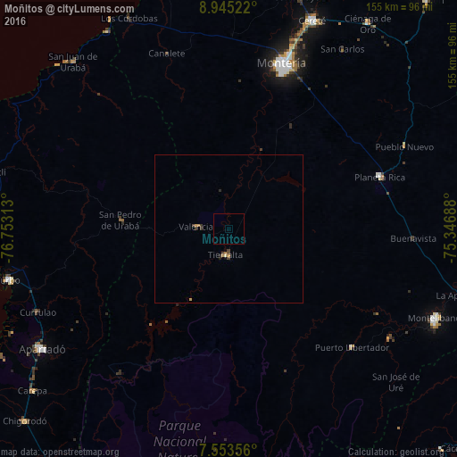
Analysis of Moñitos night lights 2016
Square area 10x10 km:
 0%
0%90-99
0%80-89
0%70-79
0%60-69
0%50-59
0%40-49
0%30-39
0%20-29
0%10-19
0%0-9
100%Square area 50x50 km:
0%90-99
0.03%80-89
0.01%70-79
0.15%60-69
0.05%50-59
0%40-49
0.08%30-39
0.19%20-29
0.09%10-19
0.03%0-9
99.38%Clear (daylight) street map image can be seen on geolist.org.
Map coordinates:
8° 56' 42.8" North, 76° 45' 11.3" West
8° 15' 0" North, 76° 3' 0" West
7° 33' 12.8" North, 75° 20' 48.8" West
Some cities around Moñitos sort by population:
• Montería
58.4 km =36.3 mi,  18°
18°
• Apartadó
75.4 km =46.9 mi,  237°
237°
• Montelíbano
75.6 km =47 mi,  113°
113°
• Planeta Rica
54.2 km =33.7 mi,  70°
70°
• Tierralta
8.6 km =5.3 mi,  186°
186°
• San Carlos
71.9 km =44.7 mi,  32°
32°
• San Pedro de Urabá
36 km =22.4 mi,  274°
274°
• Valencia
11 km =6.8 mi, 274°
3674569 (p: 5,385)
Sources (retrieved 2019-11-25):
» Earth at Night: Flat Maps 2012, 2016