Apartadó night lights from space
Night Light of Apartadó (Antioquia) from space (Colombia) Src. Average luminocity for 10x10km area is 15.5248% and for 50x50km: 1.7258%.
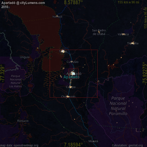
Analysis of Apartadó night lights 2016
Square area 10x10 km:
 3.1%
3.1%90-99
4.34%80-89
0%70-79
0%60-69
1.86%50-59
1.24%40-49
2.27%30-39
4.55%20-29
0%10-19
2.07%0-9
80.58%Square area 50x50 km:
0.23%90-99
0.25%80-89
0.08%70-79
0.21%60-69
0.19%50-59
0.18%40-49
0.38%30-39
0.59%20-29
0.24%10-19
0.25%0-9
97.41%Clear (daylight) street map image can be seen on geolist.org.
Map coordinates:
8° 34' 43.9" North, 77° 19' 44.4" West
7° 52' 58.8" North, 76° 37' 33.1" West
7° 11' 9.4" North, 75° 55' 21.9" West
Some cities around Apartadó sort by population:
• Turbo
25.9 km =16.1 mi,  334°
334°
• Chigorodó
24.8 km =15.4 mi,  194°
194°
• Tierralta
70.3 km =43.7 mi,  62°
62°
• Carepa
14.2 km =8.8 mi, 191°
• San Pedro de Urabá
51.5 km =32 mi,  32°
32°
• Necoclí
63 km =39.1 mi,  343°
343°
• Valencia
67 km =41.6 mi,  51°
51°
• Riosucio
73.1 km =45.4 mi,  228°
228°
3689798 (p: 86,438)
Sources (retrieved 2019-11-25):
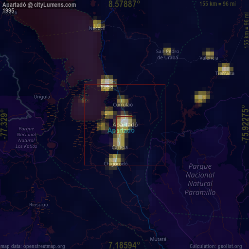
» NASA, Earths city lights 1995
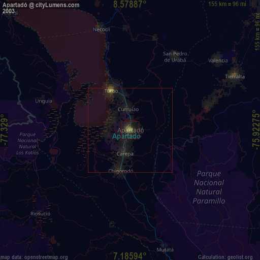
» NASA city lights 2003
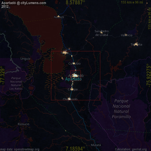
» Earth at Night: Flat Maps 2012, 2016