Valencia night lights from space
Night Light of Valencia (Córdoba) from space (Colombia) Src. Average luminocity for 10x10km area is 2.5207% and for 50x50km: 0.3652%.
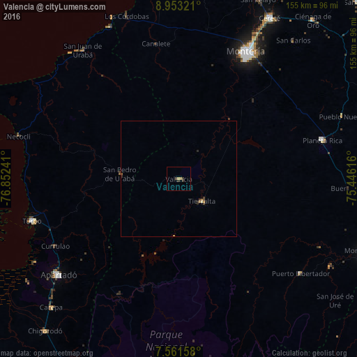
Analysis of Valencia night lights 2016
Square area 10x10 km:
 0%
0%90-99
0%80-89
0%70-79
1.24%60-69
0.41%50-59
0%40-49
0.41%30-39
2.89%20-29
0%10-19
0%0-9
95.04%Square area 50x50 km:
0%90-99
0.03%80-89
0.01%70-79
0.13%60-69
0.06%50-59
0.03%40-49
0.08%30-39
0.2%20-29
0.11%10-19
0.03%0-9
99.33%Clear (daylight) street map image can be seen on geolist.org.
Map coordinates:
8° 57' 11.6" North, 76° 51' 8.7" West
8° 15' 28.8" North, 76° 8' 57.4" West
7° 33' 41.7" North, 75° 26' 46.2" West
Some cities around Valencia sort by population:
• Montería
61.9 km =38.5 mi,  28°
28°
• Apartadó
67 km =41.6 mi,  231°
231°
• Turbo
66.3 km =41.2 mi,  253°
253°
• Planeta Rica
64.4 km =40 mi,  74°
74°
• Tierralta
13.7 km =8.5 mi,  133°
133°
• San Pedro de Urabá
25.1 km =15.6 mi,  274°
274°
• San Juan de Urabá
69.7 km =43.3 mi,  323°
323°
• Moñitos
11 km =6.8 mi,  94°
94°
3666326 (p: 10,652)
Sources (retrieved 2019-11-25):
» Earth at Night: Flat Maps 2012, 2016