Montelíbano night lights from space
Night Light of Montelíbano (Córdoba) from space (Colombia) Src. Average luminocity for 10x10km area is 19.9029% and for 50x50km: 1.5881%.
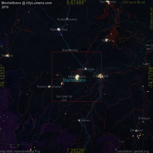
Analysis of Montelíbano night lights 2016
Square area 10x10 km:
 3.72%
3.72%90-99
4.96%80-89
1.86%70-79
1.86%60-69
2.89%50-59
0.41%40-49
0%30-39
3.31%20-29
1.03%10-19
9.3%0-9
70.66%Square area 50x50 km:
0.15%90-99
0.24%80-89
0.11%70-79
0.12%60-69
0.59%50-59
0.13%40-49
0.08%30-39
0.29%20-29
0.12%10-19
0.54%0-9
97.64%Clear (daylight) street map image can be seen on geolist.org.
Map coordinates:
8° 40' 29.6" North, 76° 7' 24" West
7° 58' 45" North, 75° 25' 12.7" West
7° 16' 56.2" North, 74° 43' 1.5" West
Some cities around Montelíbano sort by population:
• Caucasia
25 km =15.5 mi,  88°
88°
• Planeta Rica
51.4 km =31.9 mi,  339°
339°
• Tierralta
73.6 km =45.7 mi,  287°
287°
• San Carlos
74.2 km =46.1 mi,  106°
106°
• Ayapel
48.3 km =30 mi,  39°
39°
• Pueblo Nuevo
58.6 km =36.4 mi,  60°
60°
• Nechí
72.1 km =44.8 mi,  79°
79°
• Moñitos
75.6 km =47 mi, 293°
3674470 (p: 85,000)
Sources (retrieved 2019-11-25):
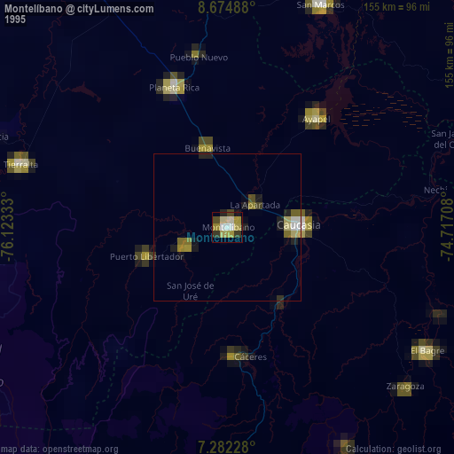
» NASA, Earths city lights 1995
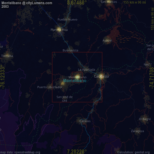
» NASA city lights 2003
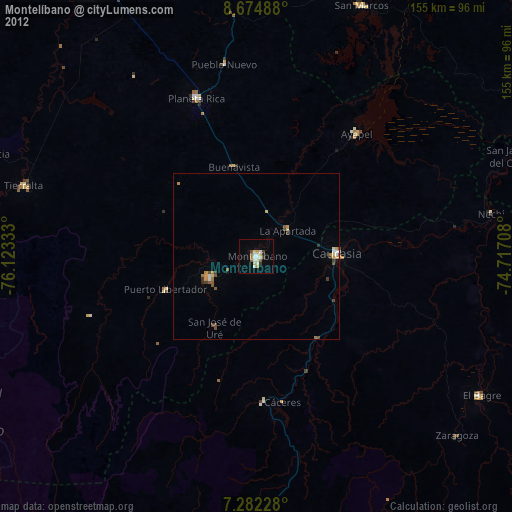
» Earth at Night: Flat Maps 2012, 2016