Melgar night lights from space
Night Light of Melgar (Tolima) from space (Colombia) Src. Average luminocity for 10x10km area is 22.2857% and for 50x50km: 6.0703%.
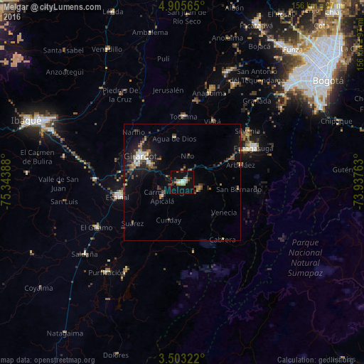
Analysis of Melgar night lights 2016
Square area 10x10 km:
 3.25%
3.25%90-99
2.81%80-89
1.73%70-79
2.38%60-69
4.11%50-59
2.81%40-49
1.08%30-39
3.68%20-29
2.38%10-19
25.32%0-9
50.43%Square area 50x50 km:
0.61%90-99
0.65%80-89
0.56%70-79
0.59%60-69
0.87%50-59
0.86%40-49
0.91%30-39
1.46%20-29
1.33%10-19
5.3%0-9
86.86%Clear (daylight) street map image can be seen on geolist.org.
Map coordinates:
4° 54' 20.3" North, 75° 20' 38" West
4° 12' 17.1" North, 74° 38' 26.7" West
3° 30' 11.6" North, 73° 56' 15.5" West
Some cities around Melgar sort by population:
• Girardot City
21.4 km =13.3 mi,  300°
300°
• Espinal
27.7 km =17.2 mi,  257°
257°
• Flandes
21.6 km =13.4 mi, 296°
• Agua de Dios
19.4 km =12.1 mi,  350°
350°
• Tocaima
28.2 km =17.5 mi,  1°
1°
• Viotá
29 km =18 mi,  27°
27°
• Carmen de Apicalá
10.9 km =6.8 mi,  234°
234°
• Arbeláez
26.1 km =16.2 mi,  73°
73°
3674885 (p: 25,980)
Sources (retrieved 2019-11-25):
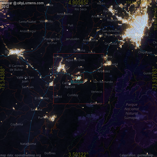
» Earth at Night: Flat Maps 2012, 2016