Girardot City night lights from space
Night Light of Girardot City (Cundinamarca) from space (Colombia) Src. Average luminocity for 10x10km area is 51.9545% and for 50x50km: 7.0377%.
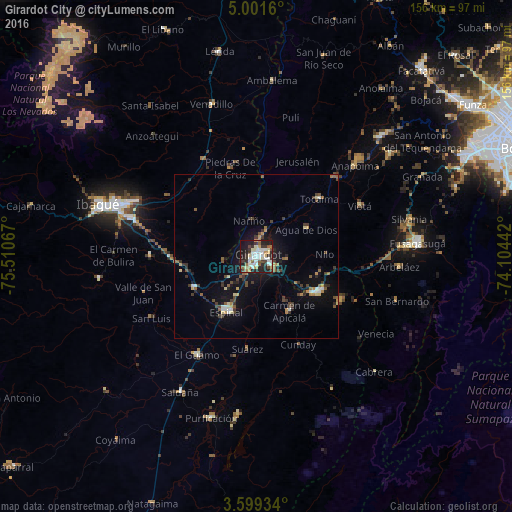
Analysis of Girardot City night lights 2016
Square area 10x10 km:
 11.9%
11.9%90-99
13.2%80-89
6.06%70-79
4.76%60-69
4.11%50-59
4.55%40-49
5.19%30-39
11.69%20-29
15.8%10-19
21%0-9
1.73%Square area 50x50 km:
0.76%90-99
0.87%80-89
0.74%70-79
0.61%60-69
0.78%50-59
0.92%40-49
1.1%30-39
1.83%20-29
1.47%10-19
5.81%0-9
85.11%Clear (daylight) street map image can be seen on geolist.org.
Map coordinates:
5° 0' 5.8" North, 75° 30' 38.4" West
4° 18' 2.8" North, 74° 48' 27.1" West
3° 35' 57.6" North, 74° 6' 15.9" West
Some cities around Girardot City sort by population:
• Espinal
18.9 km =11.7 mi,  206°
206°
• Melgar
21.4 km =13.3 mi,  120°
120°
• Flandes
1.5 km =0.9 mi,  218°
218°
• Chicoral
21.5 km =13.4 mi,  243°
243°
• Agua de Dios
17.4 km =10.8 mi,  61°
61°
• Tocaima
26 km =16.2 mi,  47°
47°
• La Chamba
31.2 km =19.4 mi,  192°
192°
• Carmen de Apicalá
19.6 km =12.2 mi,  150°
150°
3682028 (p: 130,289)
Sources (retrieved 2019-11-25):
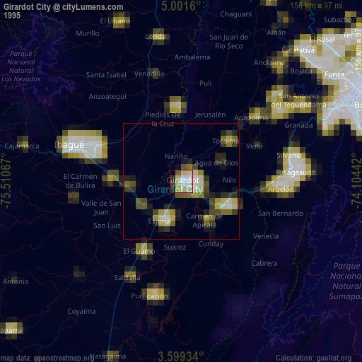
» NASA, Earths city lights 1995
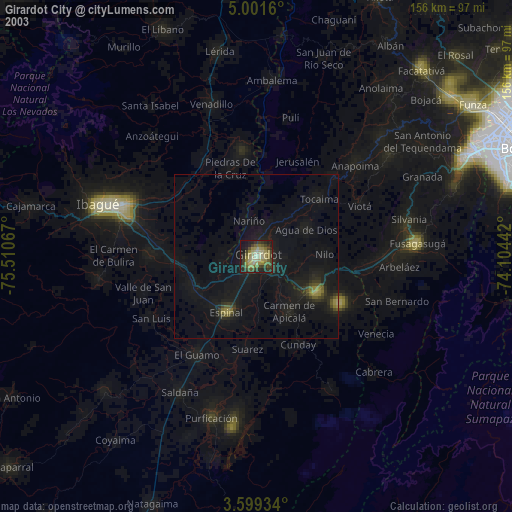
» NASA city lights 2003
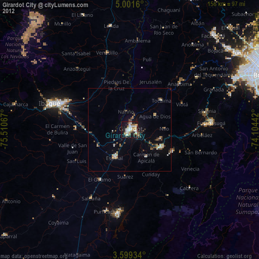
» Earth at Night: Flat Maps 2012, 2016