Espinal night lights from space
Night Light of Espinal (Tolima) from space (Colombia) Src. Average luminocity for 10x10km area is 22.6667% and for 50x50km: 6.7073%.
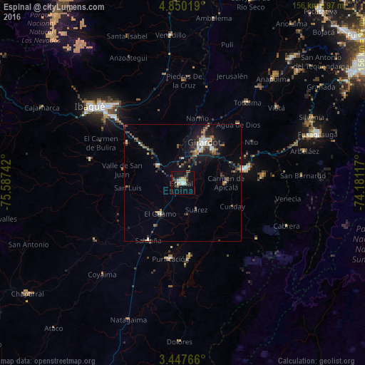
Analysis of Espinal night lights 2016
Square area 10x10 km:
 2.6%
2.6%90-99
4.11%80-89
3.9%70-79
1.52%60-69
0.87%50-59
2.81%40-49
4.55%30-39
4.76%20-29
1.73%10-19
19.05%0-9
54.11%Square area 50x50 km:
0.73%90-99
0.88%80-89
0.67%70-79
0.54%60-69
0.8%50-59
0.85%40-49
1.07%30-39
1.78%20-29
1.62%10-19
4.88%0-9
86.18%Clear (daylight) street map image can be seen on geolist.org.
Map coordinates:
4° 51' 0.7" North, 75° 35' 14.7" West
4° 8' 57.3" North, 74° 53' 3.4" West
3° 26' 51.6" North, 74° 10' 52.2" West
Some cities around Espinal sort by population:
• Girardot City
18.9 km =11.7 mi,  26°
26°
• Melgar
27.7 km =17.2 mi,  77°
77°
• Flandes
17.4 km =10.8 mi, 25°
• Guamo
16.2 km =10.1 mi,  215°
215°
• Chicoral
13.1 km =8.1 mi,  304°
304°
• Saldaña
28.4 km =17.6 mi,  210°
210°
• La Chamba
13.8 km =8.6 mi,  172°
172°
• Carmen de Apicalá
18.2 km =11.3 mi,  90°
90°
3682573 (p: 56,213)
Sources (retrieved 2019-11-25):
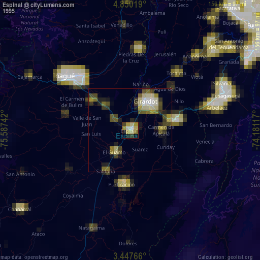
» NASA, Earths city lights 1995
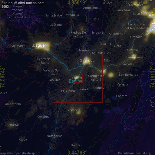
» NASA city lights 2003
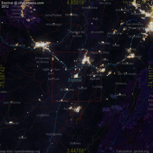
» Earth at Night: Flat Maps 2012, 2016