La Chamba night lights from space
Night Light of La Chamba (Tolima) from space (Colombia) Src. Average luminocity for 10x10km area is 1.7749% and for 50x50km: 4.1826%.
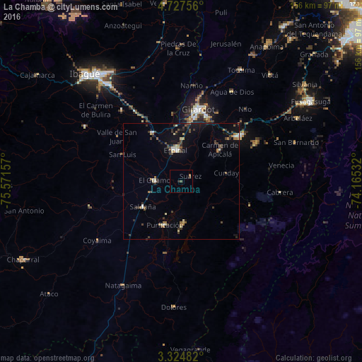
Analysis of La Chamba night lights 2016
Square area 10x10 km:
 0%
0%90-99
0%80-89
0%70-79
0%60-69
0.87%50-59
0.87%40-49
0.43%30-39
0.87%20-29
0.43%10-19
0%0-9
96.54%Square area 50x50 km:
0.32%90-99
0.42%80-89
0.52%70-79
0.24%60-69
0.61%50-59
0.49%40-49
0.76%30-39
1.17%20-29
0.69%10-19
2.79%0-9
92%Clear (daylight) street map image can be seen on geolist.org.
Map coordinates:
4° 43' 39.2" North, 75° 34' 17.7" West
4° 1' 35.4" North, 74° 52' 6.4" West
3° 19' 29.4" North, 74° 9' 55.2" West
Some cities around La Chamba sort by population:
• Girardot City
31.2 km =19.4 mi,  12°
12°
• Espinal
13.8 km =8.6 mi,  352°
352°
• Flandes
29.9 km =18.6 mi, 11°
• Guamo
11.3 km =7 mi,  272°
272°
• Chicoral
24.5 km =15.2 mi,  329°
329°
• Purificación
19.9 km =12.4 mi,  200°
200°
• Saldaña
19.5 km =12.1 mi,  236°
236°
• Carmen de Apicalá
21.2 km =13.2 mi,  50°
50°
3679536 (p: 7,075)
Sources (retrieved 2019-11-25):
» Earth at Night: Flat Maps 2012, 2016