Curumaní night lights from space
Night Light of Curumaní (Cesar) from space (Colombia) Src. Average luminocity for 10x10km area is 4.684% and for 50x50km: 0.3857%.
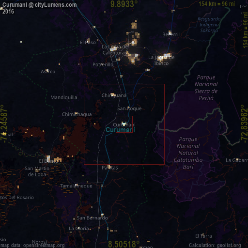
Analysis of Curumaní night lights 2016
Square area 10x10 km:
 0.87%
0.87%90-99
0.87%80-89
0.87%70-79
0.87%60-69
0.87%50-59
0%40-49
0%30-39
0.87%20-29
0%10-19
0%0-9
94.81%Square area 50x50 km:
0.03%90-99
0.06%80-89
0.04%70-79
0.17%60-69
0.07%50-59
0%40-49
0.03%30-39
0.07%20-29
0%10-19
0%0-9
99.52%Clear (daylight) street map image can be seen on geolist.org.
Map coordinates:
9° 53' 35.9" North, 74° 14' 45.1" West
9° 11' 59.7" North, 73° 32' 33.9" West
8° 30' 18.6" North, 72° 50' 22.6" West
Some cities around Curumaní sort by population:
• El Banco
52.4 km =32.6 mi,  245°
245°
• La Jagua de Ibirico
46.3 km =28.8 mi,  29°
29°
• Chimichagua
30.3 km =18.8 mi,  282°
282°
• Chiriguaná
19.2 km =11.9 mi,  339°
339°
• Pelaya
58.4 km =36.3 mi,  193°
193°
• Pailitas
28.5 km =17.7 mi,  198°
198°
• Astrea
58 km =36 mi,  304°
304°
• El Paso
55.6 km =34.5 mi, 336°
3685335 (p: 22,084)
Sources (retrieved 2019-11-25):
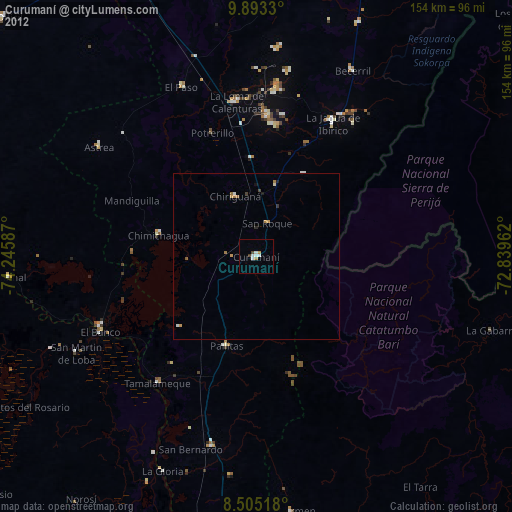
» Earth at Night: Flat Maps 2012, 2016