Chigorodó night lights from space
Night Light of Chigorodó (Antioquia) from space (Colombia) Src. Average luminocity for 10x10km area is 4.4174% and for 50x50km: 1.0543%.
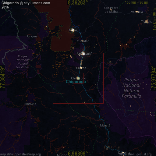
Analysis of Chigorodó night lights 2016
Square area 10x10 km:
 0%
0%90-99
0%80-89
0.62%70-79
2.48%60-69
0.21%50-59
0%40-49
2.27%30-39
1.03%20-29
0%10-19
0%0-9
93.39%Square area 50x50 km:
0.12%90-99
0.13%80-89
0.06%70-79
0.13%60-69
0.16%50-59
0.13%40-49
0.29%30-39
0.3%20-29
0.21%10-19
0.11%0-9
98.36%Clear (daylight) street map image can be seen on geolist.org.
Map coordinates:
8° 21' 45.5" North, 77° 23' 3.1" West
7° 39' 59" North, 76° 40' 51.8" West
6° 58' 8.4" North, 75° 58' 40.6" West
Some cities around Chigorodó sort by population:
• Apartadó
24.8 km =15.4 mi,  14°
14°
• Turbo
47.7 km =29.6 mi,  353°
353°
• Carepa
10.7 km =6.6 mi,  17°
17°
• Dabeiba
86.9 km =54 mi,  148°
148°
• San Pedro de Urabá
75.5 km =46.9 mi,  26°
26°
• Necoclí
85.3 km =53 mi, 351°
• Valencia
88.1 km =54.7 mi,  41°
41°
• Riosucio
54.3 km =33.7 mi,  242°
242°
3686636 (p: 48,443)
Sources (retrieved 2019-11-25):
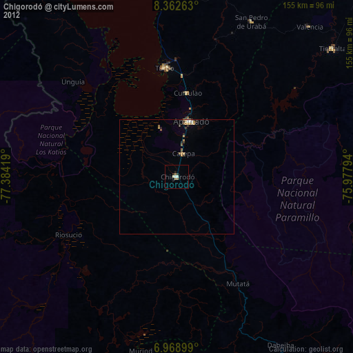
» Earth at Night: Flat Maps 2012, 2016