Carepa night lights from space
Night Light of Carepa (Antioquia) from space (Colombia) Src. Average luminocity for 10x10km area is 5.2479% and for 50x50km: 1.3317%.
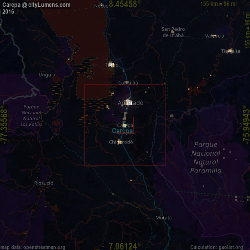
Analysis of Carepa night lights 2016
Square area 10x10 km:
 0%
0%90-99
0%80-89
0.83%70-79
0.62%60-69
1.03%50-59
0.83%40-49
3.1%30-39
1.86%20-29
0%10-19
0.83%0-9
90.91%Square area 50x50 km:
0.13%90-99
0.18%80-89
0.06%70-79
0.16%60-69
0.16%50-59
0.15%40-49
0.33%30-39
0.48%20-29
0.21%10-19
0.22%0-9
97.93%Clear (daylight) street map image can be seen on geolist.org.
Map coordinates:
8° 27' 16.5" North, 77° 21' 20.4" West
7° 45' 30.6" North, 76° 39' 9.2" West
7° 3' 40.5" North, 75° 56' 57.9" West
Some cities around Carepa sort by population:
• Apartadó
14.2 km =8.8 mi,  11°
11°
• Turbo
38.1 km =23.7 mi,  347°
347°
• Chigorodó
10.7 km =6.6 mi,  197°
197°
• Tierralta
80 km =49.7 mi,  54°
54°
• San Pedro de Urabá
65 km =40.4 mi,  27°
27°
• Necoclí
75.8 km =47.1 mi, 348°
• Valencia
78.5 km =48.8 mi,  44°
44°
• Riosucio
62.3 km =38.7 mi,  235°
235°
3792375 (p: 20,627)
Sources (retrieved 2019-11-25):
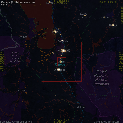
» Earth at Night: Flat Maps 2012, 2016