Algeciras night lights from space
Night Light of Algeciras (Huila) from space (Colombia) Src. Average luminocity for 10x10km area is 3.2771% and for 50x50km: 0.8793%.
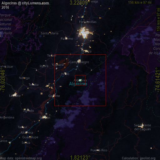
Analysis of Algeciras night lights 2016
Square area 10x10 km:
 0%
0%90-99
1.08%80-89
0.87%70-79
0.65%60-69
0%50-59
0%40-49
0%30-39
0.65%20-29
1.95%10-19
0%0-9
94.81%Square area 50x50 km:
0%90-99
0.15%80-89
0.19%70-79
0.1%60-69
0.14%50-59
0.22%40-49
0.1%30-39
0.22%20-29
0.14%10-19
0.03%0-9
98.72%Clear (daylight) street map image can be seen on geolist.org.
Map coordinates:
3° 13' 33.9" North, 76° 1' 13.7" West
2° 31' 25.9" North, 75° 19' 2.4" West
1° 49' 16.4" North, 74° 36' 51.2" West
Some cities around Algeciras sort by population:
• Neiva
45 km =28 mi,  5°
5°
• Garzón
50.2 km =31.2 mi,  223°
223°
• Campoalegre
17.9 km =11.1 mi,  357°
357°
• La Plata
65.5 km =40.7 mi,  257°
257°
• Palermo
43 km =26.7 mi,  341°
341°
• Gigante
29.8 km =18.5 mi,  239°
239°
• Rivera
29 km =18 mi, 13°
• Yaguará
27.1 km =16.8 mi,  304°
304°
3690160 (p: 10,792)
Sources (retrieved 2019-11-25):
» Earth at Night: Flat Maps 2012, 2016