Buenavista night lights from space
Night Light of Buenavista (Córdoba) from space (Colombia) Src. Average luminocity for 10x10km area is 0% and for 50x50km: 2.0402%.
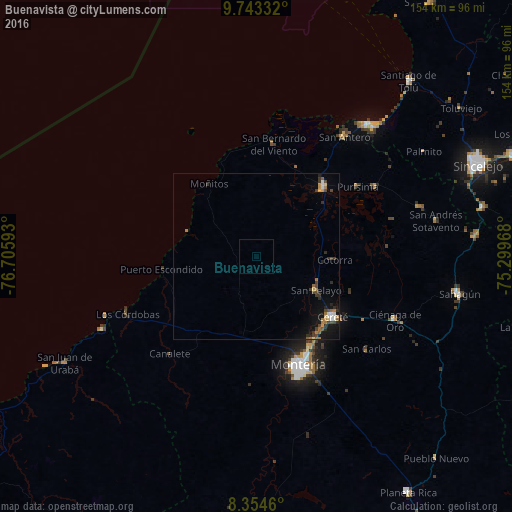
Analysis of Buenavista night lights 2016
Square area 10x10 km:
 0%
0%90-99
0%80-89
0%70-79
0%60-69
0%50-59
0%40-49
0%30-39
0%20-29
0%10-19
0%0-9
100%Square area 50x50 km:
0.18%90-99
0.2%80-89
0.15%70-79
0.25%60-69
0.43%50-59
0.19%40-49
0.44%30-39
0.5%20-29
0.46%10-19
1.61%0-9
95.59%Clear (daylight) street map image can be seen on geolist.org.
Map coordinates:
9° 44' 36" North, 76° 42' 21.3" West
9° 2' 58.7" North, 76° 0' 10.1" West
8° 21' 16.6" North, 75° 17' 58.8" West
Some cities around Buenavista sort by population:
• Montería
36.1 km =22.4 mi,  158°
158°
• Cereté
29.7 km =18.5 mi,  128°
128°
• Lorica
29.4 km =18.3 mi,  45°
45°
• San Carlos
43.7 km =27.2 mi, 130°
• San Bernardo del Viento
34.2 km =21.3 mi,  9°
9°
• Purísima de la Concepción
37.2 km =23.1 mi,  56°
56°
• Momil
41.6 km =25.8 mi, 59°
• San Pelayo
20.9 km =13 mi,  119°
119°
3688397 (p: 5,062)
Sources (retrieved 2019-11-25):
» Earth at Night: Flat Maps 2012, 2016