Arboletes night lights from space
Night Light of Arboletes (Antioquia) from space (Colombia) Src. Average luminocity for 10x10km area is 3.7403% and for 50x50km: 0.4398%.
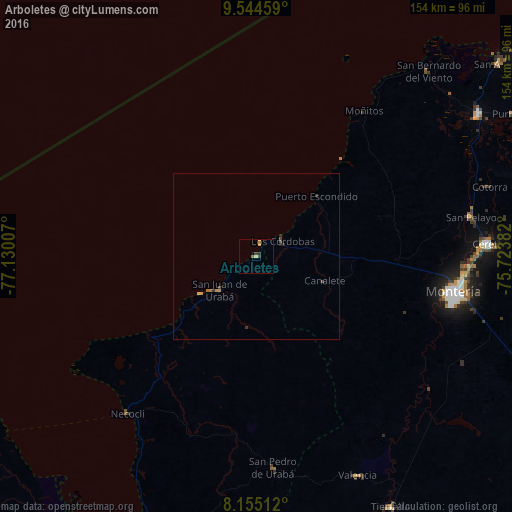
Analysis of Arboletes night lights 2016
Square area 10x10 km:
 0%
0%90-99
0%80-89
0.87%70-79
1.3%60-69
0.65%50-59
0.65%40-49
0.22%30-39
1.52%20-29
0.87%10-19
0%0-9
93.94%Square area 50x50 km:
0%90-99
0%80-89
0.05%70-79
0.15%60-69
0.11%50-59
0.03%40-49
0.14%30-39
0.16%20-29
0.1%10-19
0.03%0-9
99.22%Clear (daylight) street map image can be seen on geolist.org.
Map coordinates:
9° 32' 40.5" North, 77° 7' 48.3" West
8° 51' 1.8" North, 76° 25' 37" West
8° 9' 18.4" North, 75° 43' 25.8" West
Some cities around Arboletes sort by population:
• Montería
61 km =37.9 mi,  100°
100°
• Cereté
70 km =43.5 mi,  86°
86°
• San Pedro de Urabá
64.2 km =39.9 mi,  175°
175°
• Necoclí
61.7 km =38.3 mi,  220°
220°
• San Juan de Urabá
15.2 km =9.4 mi,  228°
228°
• Valencia
72.6 km =45.1 mi,  155°
155°
• San Pelayo
66 km =41 mi,  79°
79°
• Buenavista
51.6 km =32.1 mi,  64°
64°
3689693 (p: 8,380)
Sources (retrieved 2019-11-25):
» Earth at Night: Flat Maps 2012, 2016