Zhenlai night lights from space
Night Light of Zhenlai (Jilin) from space (China) Src. Average luminocity for 10x10km area is 2.4747% and for 50x50km: 0.4856%.
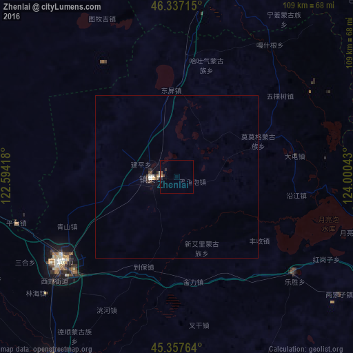
Analysis of Zhenlai night lights 2016
Square area 10x10 km:
 0.15%
0.15%90-99
0.45%80-89
0%70-79
0.15%60-69
0.45%50-59
0.6%40-49
0.6%30-39
0.6%20-29
0%10-19
0%0-9
97.02%Square area 50x50 km:
0.02%90-99
0.14%80-89
0.01%70-79
0.05%60-69
0.04%50-59
0.02%40-49
0.15%30-39
0.1%20-29
0.08%10-19
0.01%0-9
99.36%Clear (daylight) street map image can be seen on geolist.org.
Map coordinates:
46° 20' 13.7" North, 122° 35' 39" East
45° 50' 58.4" North, 123° 17' 50.3" East
45° 21' 27.5" North, 124° 0' 1.5" East
Some cities around Zhenlai sort by population:
• Baicheng
45.7 km =28.4 mi,  233°
233°
• Ulanhot
97.4 km =60.5 mi,  285°
285°
• Honggang
136.7 km =84.9 mi,  63°
63°
• Fuyu
139.6 km =86.7 mi,  122°
122°
• Guangming
70 km =43.5 mi,  214°
214°
• Dalai
87.1 km =54.1 mi, 116°
• Tailai
60.7 km =37.7 mi,  8°
8°
• Kaitong
116.9 km =72.6 mi,  188°
188°
2033128 (p: 67,760)
Sources (retrieved 2019-11-25):
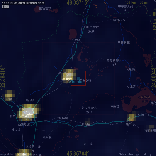
» NASA, Earths city lights 1995
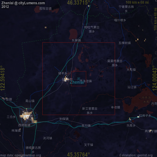
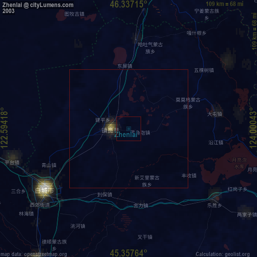
» NASA city lights 2003
» Earth at Night: Flat Maps 2012, 2016