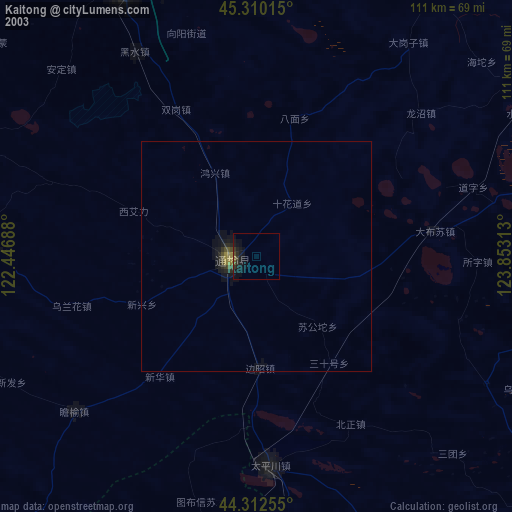
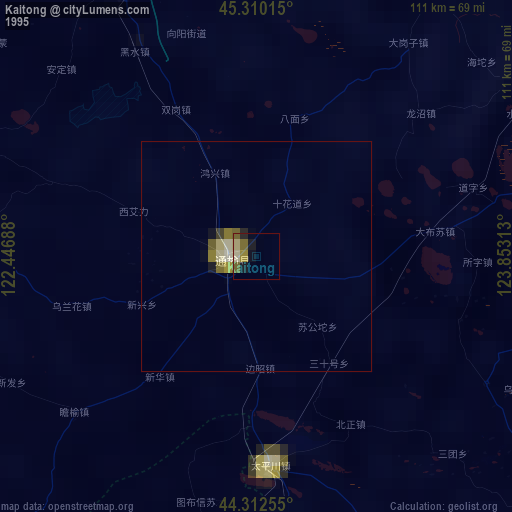
Kaitong night lights from space
Night Light of Kaitong (Jilin) from space (China) Src. Average luminocity for 10x10km area is 4.3778% and for 50x50km: 0.4705%.
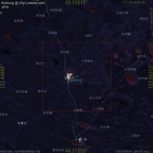

Analysis of Kaitong night lights 2016
Square area 10x10 km:
 0%
0%90-99
1.27%80-89
0.63%70-79
0%60-69
0.63%50-59
1.11%40-49
0.32%30-39
0.48%20-29
0%10-19
1.11%0-9
94.44%Square area 50x50 km:
0%90-99
0.09%80-89
0.06%70-79
0.07%60-69
0.12%50-59
0.05%40-49
0.06%30-39
0.07%20-29
0.02%10-19
0.09%0-9
99.37%Clear (daylight) street map image can be seen on geolist.org.
Map coordinates:
45° 18' 36.5" North, 122° 26' 48.8" East
44° 48' 32.9" North, 123° 4' 51.9" East
44° 18' 45.2" North, 123° 51' 11.3" East
Some cities around Kaitong sort by population:
• Baicheng
91.1 km =56.6 mi,  347°
347°
• Tongliao
148.1 km =92 mi,  206°
206°
• Fuyu
142.7 km =88.7 mi,  73°
73°
• Songyuan
141.9 km =88.2 mi,  75°
75°
• Guangming
62.8 km =39 mi,  338°
338°
• Dalai
122.6 km =76.2 mi,  51°
51°
• Zhenlai
116.9 km =72.6 mi,  8°
8°
• Changling
94.7 km =58.8 mi,  129°
129°
2036338 (p: 62,537)
Sources (retrieved 2019-11-25):
» NASA, Earths city lights 1995
» NASA city lights 2003
» Earth at Night: Flat Maps 2012, 2016