Ulanhot night lights from space
Night Light of Ulanhot (Inner Mongolia) from space (China) Src. Average luminocity for 10x10km area is 39.0398% and for 50x50km: 2.6182%.
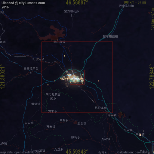

Analysis of Ulanhot night lights 2016
Square area 10x10 km:
 6.25%
6.25%90-99
8.38%80-89
4.12%70-79
4.12%60-69
3.55%50-59
6.82%40-49
3.55%30-39
7.81%20-29
13.64%10-19
26.28%0-9
15.48%Square area 50x50 km:
0.3%90-99
0.45%80-89
0.3%70-79
0.23%60-69
0.21%50-59
0.42%40-49
0.28%30-39
0.53%20-29
0.88%10-19
2.37%0-9
94.04%Clear (daylight) street map image can be seen on geolist.org.
Map coordinates:
46° 34' 7.9" North, 121° 22' 48.8" East
46° 4' 60" North, 122° 4' 60" East
45° 35' 36.5" North, 122° 47' 11.3" East
Some cities around Ulanhot sort by population:
• Baicheng
77.9 km =48.4 mi,  132°
132°
• Hulan Ergi
171.8 km =106.8 mi,  43°
43°
• Guangming
99.5 km =61.8 mi,  146°
146°
• Longjiang
161.9 km =100.6 mi,  31°
31°
• Zhenlai
97.4 km =60.5 mi,  105°
105°
• Tailai
107.8 km =67 mi,  71°
71°
• Kaitong
161.6 km =100.4 mi, 151°
• Nianzishan
170.6 km =106 mi,  20°
20°
2034312 (p: 165,846)
Sources (retrieved 2019-11-25):
» NASA, Earths city lights 1995
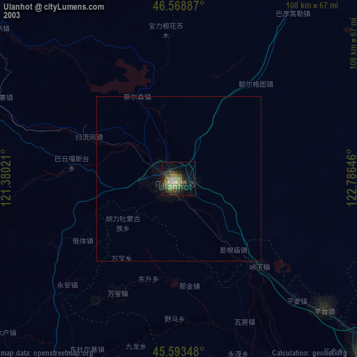
» NASA city lights 2003
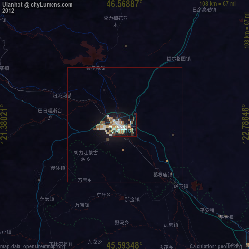
» Earth at Night: Flat Maps 2012, 2016