Baicheng night lights from space
Night Light of Baicheng (Jilin) from space (China) Src. Average luminocity for 10x10km area is 36.2985% and for 50x50km: 1.9396%.
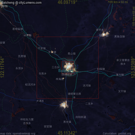

Analysis of Baicheng night lights 2016
Square area 10x10 km:
 4.7%
4.7%90-99
6.82%80-89
4.24%70-79
5.3%60-69
5.91%50-59
3.79%40-49
5%30-39
5.76%20-29
10.15%10-19
28.48%0-9
19.85%Square area 50x50 km:
0.19%90-99
0.29%80-89
0.2%70-79
0.22%60-69
0.28%50-59
0.22%40-49
0.26%30-39
0.37%20-29
0.57%10-19
1.76%0-9
95.65%Clear (daylight) street map image can be seen on geolist.org.
Map coordinates:
46° 5' 49.9" North, 122° 7' 3.5" East
45° 36' 26.9" North, 122° 49' 14.7" East
45° 6' 48.3" North, 123° 31' 26" East
Some cities around Baicheng sort by population:
• Ulanhot
77.9 km =48.4 mi,  312°
312°
• Fuyu
162.8 km =101.2 mi,  106°
106°
• Songyuan
165.5 km =102.8 mi, 108°
• Guangming
30.6 km =19 mi,  185°
185°
• Dalai
115.8 km =72 mi,  95°
95°
• Zhenlai
45.7 km =28.4 mi,  53°
53°
• Tailai
98.2 km =61 mi,  27°
27°
• Kaitong
91.1 km =56.6 mi,  167°
167°
2038569 (p: 316,970)
Sources (retrieved 2019-11-25):
» NASA, Earths city lights 1995
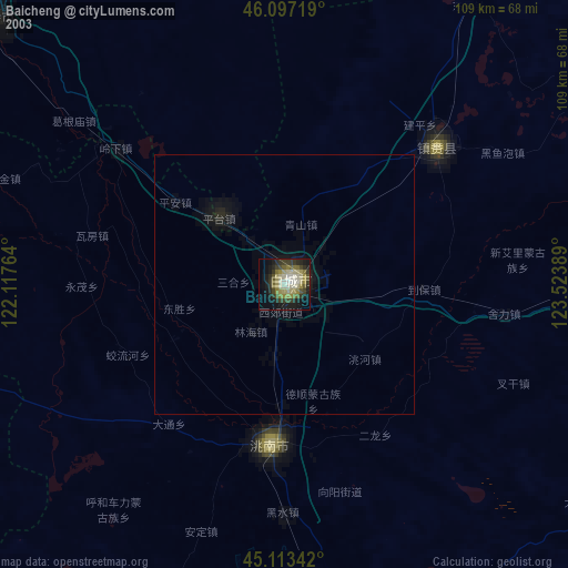
» NASA city lights 2003
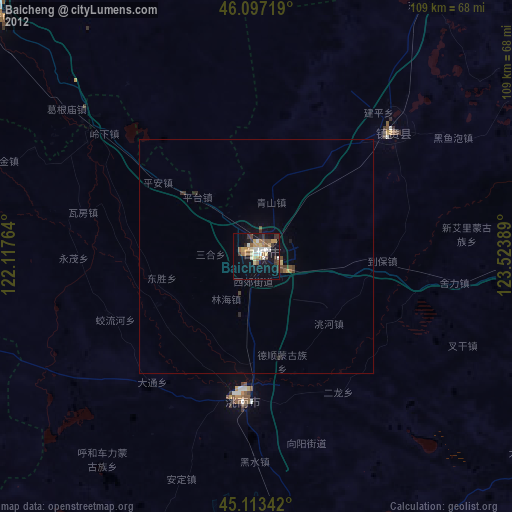
» Earth at Night: Flat Maps 2012, 2016