Zhaoyuan night lights from space
Night Light of Zhaoyuan (Heilongjiang) from space (China) Src. Average luminocity for 10x10km area is 3.8222% and for 50x50km: 0.6697%.
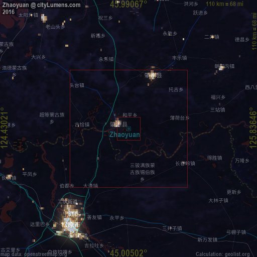
Analysis of Zhaoyuan night lights 2016
Square area 10x10 km:
 0.16%
0.16%90-99
1.59%80-89
0.16%70-79
0%60-69
0.63%50-59
0.95%40-49
0.32%30-39
0%20-29
1.9%10-19
0%0-9
94.29%Square area 50x50 km:
0.03%90-99
0.13%80-89
0.06%70-79
0.07%60-69
0.08%50-59
0.09%40-49
0.2%30-39
0.14%20-29
0.15%10-19
0.09%0-9
98.98%Clear (daylight) street map image can be seen on geolist.org.
Map coordinates:
45° 59' 26.4" North, 124° 25' 48.8" East
45° 30' 0" North, 125° 7' 60" East
45° 0' 18.1" North, 125° 50' 11.3" East
Some cities around Zhaoyuan sort by population:
• Anda
101.3 km =62.9 mi,  7°
7°
• Zhaodong
91.2 km =56.7 mi,  46°
46°
• Honggang
102.1 km =63.4 mi,  349°
349°
• Fuyu
43 km =26.7 mi,  215°
215°
• Shuangcheng
91.3 km =56.7 mi,  100°
100°
• Songyuan
47.7 km =29.6 mi,  210°
210°
• Dalai
64.9 km =40.3 mi,  270°
270°
• Zhaozhou
24.9 km =15.5 mi,  34°
34°
2033149 (p: 59,370)
Sources (retrieved 2019-11-25):
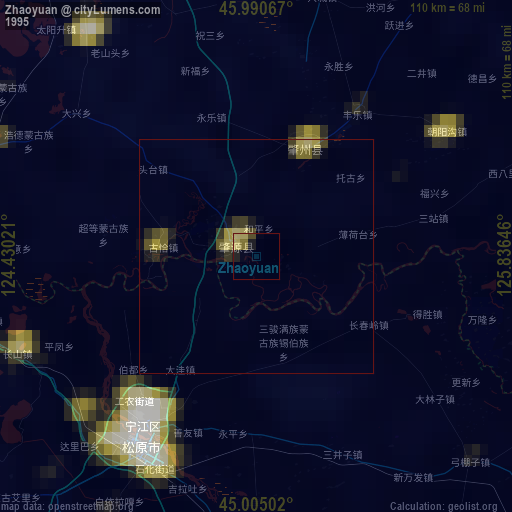
» NASA, Earths city lights 1995
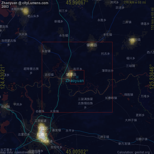
» NASA city lights 2003
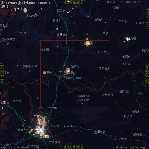
» Earth at Night: Flat Maps 2012, 2016