Songyuan night lights from space
Night Light of Songyuan (Jilin) from space (China) Src. Average luminocity for 10x10km area is 58.1955% and for 50x50km: 4.0608%.
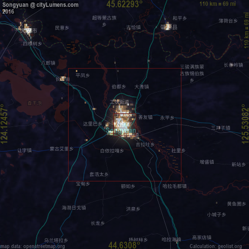
Analysis of Songyuan night lights 2016
Square area 10x10 km:
 10%
10%90-99
16.36%80-89
6.21%70-79
7.42%60-69
7.27%50-59
8.48%40-49
7.88%30-39
9.85%20-29
15.3%10-19
10.91%0-9
0.3%Square area 50x50 km:
0.45%90-99
0.82%80-89
0.36%70-79
0.43%60-69
0.54%50-59
0.54%40-49
0.63%30-39
0.79%20-29
1.32%10-19
2.81%0-9
91.3%Clear (daylight) street map image can be seen on geolist.org.
Map coordinates:
45° 37' 22.5" North, 124° 7' 28.5" East
45° 7' 44.5" North, 124° 49' 39.7" East
44° 37' 50.9" North, 125° 31' 51" East
Some cities around Songyuan sort by population:
• Jiutai
134.6 km =83.6 mi,  143°
143°
• Fuyu
6.1 km =3.8 mi,  351°
351°
• Shuangcheng
116.6 km =72.5 mi,  77°
77°
• Dehui
95.5 km =59.3 mi,  133°
133°
• Dalai
58.3 km =36.2 mi,  314°
314°
• Zhaozhou
72.5 km =45 mi,  31°
31°
• Zhaoyuan
47.7 km =29.6 mi, 30°
• Changling
116.2 km =72.2 mi,  214°
214°
2035399 (p: 113,611)
Sources (retrieved 2019-11-25):
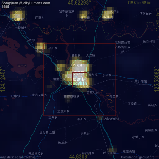
» NASA, Earths city lights 1995
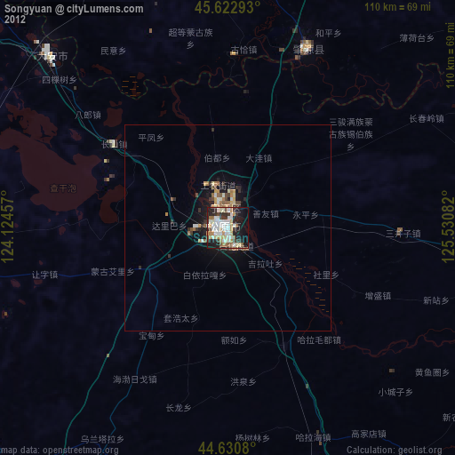
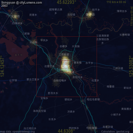
» NASA city lights 2003
» Earth at Night: Flat Maps 2012, 2016