Enshi night lights from space
Night Light of Enshi (Hubei) from space (China) Src. Average luminocity for 10x10km area is 35.1758% and for 50x50km: 1.8031%.
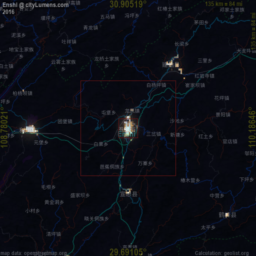


Analysis of Enshi night lights 2016
Square area 10x10 km:
 6.41%
6.41%90-99
6.96%80-89
3.48%70-79
2.2%60-69
5.13%50-59
2.93%40-49
8.06%30-39
3.3%20-29
6.23%10-19
36.81%0-9
18.5%Square area 50x50 km:
0.29%90-99
0.3%80-89
0.14%70-79
0.1%60-69
0.24%50-59
0.15%40-49
0.46%30-39
0.13%20-29
0.25%10-19
1.96%0-9
95.98%Clear (daylight) street map image can be seen on geolist.org.
Map coordinates:
30° 54' 18.7" North, 108° 46' 48.8" East
30° 18' 0" North, 109° 28' 60" East
29° 41' 27.8" North, 110° 11' 11.3" East
Some cities around Enshi sort by population:
• Yichang
178.6 km =111 mi,  75°
75°
• Wanxian
121 km =75.2 mi,  298°
298°
• Fuling
211.6 km =131.5 mi,  251°
251°
• Zhicheng
194.1 km =120.6 mi,  90°
90°
• Dazhou
215.1 km =133.7 mi, 298°
• Zhangjiajie
161.8 km =100.5 mi,  143°
143°
• Lichuan
60.8 km =37.8 mi,  270°
270°
• Wulingyuan
147.1 km =91.4 mi, 135°
1811720 (p: 95,227)
Sources (retrieved 2019-11-25):
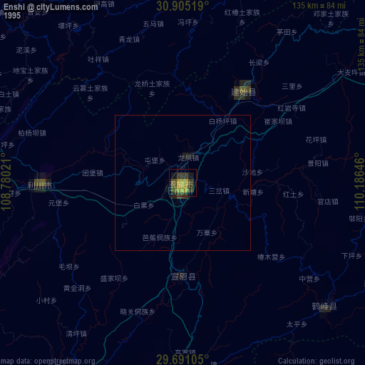
» NASA, Earths city lights 1995
» NASA city lights 2003
» Earth at Night: Flat Maps 2012, 2016