Yangshuo night lights from space
Night Light of Yangshuo (Guangxi) from space (China) Src. Average luminocity for 10x10km area is 13.8447% and for 50x50km: 1.5198%.
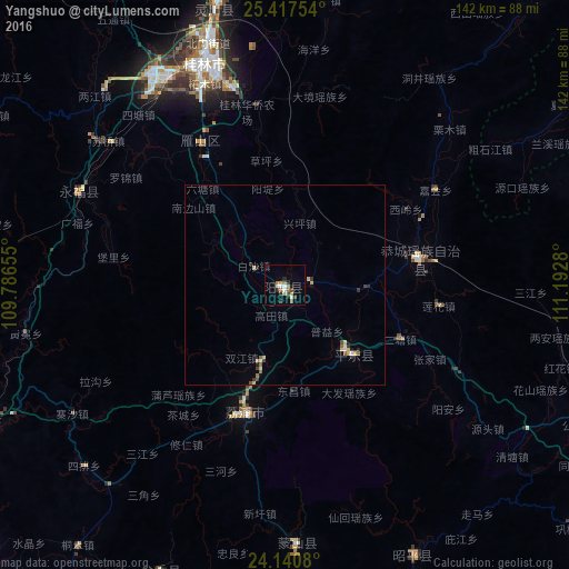
Analysis of Yangshuo night lights 2016
Square area 10x10 km:
 2.08%
2.08%90-99
1.7%80-89
1.52%70-79
0.57%60-69
3.79%50-59
0.95%40-49
2.27%30-39
0.76%20-29
4.55%10-19
1.14%0-9
80.68%Square area 50x50 km:
0.12%90-99
0.16%80-89
0.35%70-79
0.11%60-69
0.22%50-59
0.21%40-49
0.2%30-39
0.23%20-29
0.36%10-19
0.11%0-9
97.94%Clear (daylight) street map image can be seen on geolist.org.
Map coordinates:
25° 25' 3.1" North, 109° 47' 11.6" East
24° 46' 50.9" North, 110° 29' 22.8" East
24° 8' 26.9" North, 111° 11' 34.1" East
Some cities around Yangshuo sort by population:
• Guilin
59.4 km =36.9 mi,  339°
339°
• Wuzhou
166.9 km =103.7 mi,  149°
149°
• Guiping
159.9 km =99.4 mi,  195°
195°
• Luorong
98.4 km =61.1 mi,  244°
244°
• Babu
111.4 km =69.2 mi,  111°
111°
• Pingnan
138.1 km =85.8 mi,  184°
184°
• Laibin
172.7 km =107.3 mi,  225°
225°
• Shuangjiang
171.5 km =106.6 mi,  332°
332°
1787323 (p: 300,000)
Sources (retrieved 2019-11-25):
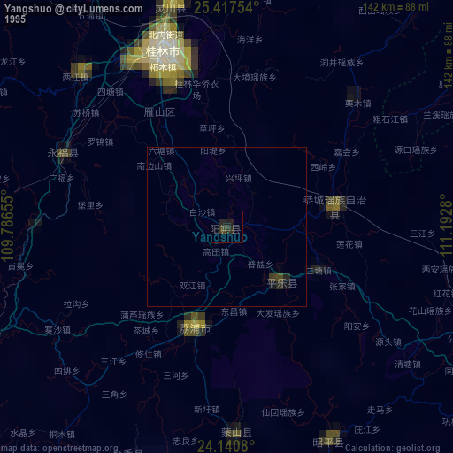
» NASA, Earths city lights 1995
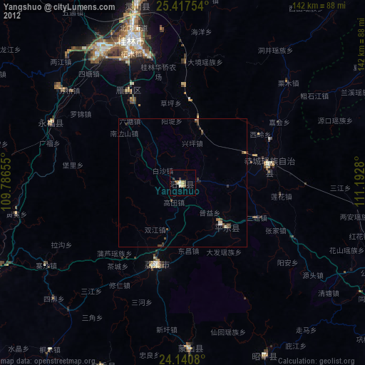
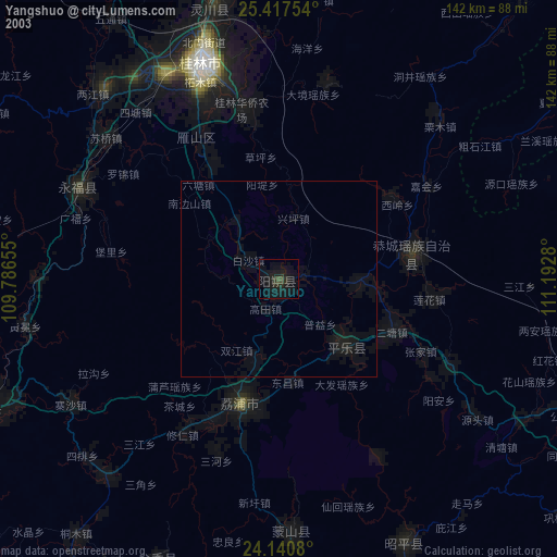
» NASA city lights 2003
» Earth at Night: Flat Maps 2012, 2016