Luorong night lights from space
Night Light of Luorong (Guangxi) from space (China) Src. Average luminocity for 10x10km area is 35.0397% and for 50x50km: 15.6876%.
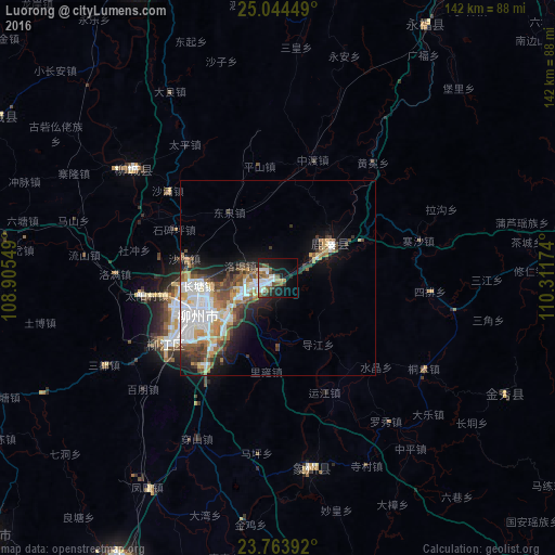
Analysis of Luorong night lights 2016
Square area 10x10 km:
 8.13%
8.13%90-99
7.74%80-89
1.19%70-79
3.17%60-69
2.98%50-59
8.33%40-49
3.37%30-39
4.76%20-29
5.36%10-19
25.4%0-9
29.56%Square area 50x50 km:
4.26%90-99
2.81%80-89
1.41%70-79
1.79%60-69
1.86%50-59
2.16%40-49
2.09%30-39
2.2%20-29
2.65%10-19
6%0-9
72.75%Clear (daylight) street map image can be seen on geolist.org.
Map coordinates:
25° 2' 40.2" North, 108° 54' 19.8" East
24° 24' 21" North, 109° 36' 31" East
23° 45' 50.1" North, 110° 18' 42.3" East
Some cities around Luorong sort by population:
• Guilin
119 km =73.9 mi,  35°
35°
• Yangshuo
98.4 km =61.1 mi,  64°
64°
• Guigang
145.6 km =90.5 mi,  179°
179°
• Guiping
122.1 km =75.9 mi,  157°
157°
• Babu
193.2 km =120 mi,  89°
89°
• Pingnan
124.6 km =77.4 mi,  140°
140°
• Laibin
85.8 km =53.3 mi,  203°
203°
• Jinji
180.2 km =112 mi, 136°
1801850 (p: 67,593)
Sources (retrieved 2019-11-25):
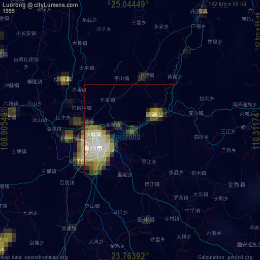
» NASA, Earths city lights 1995
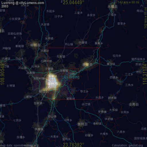
» NASA city lights 2003
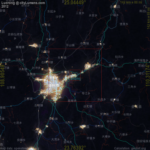
» Earth at Night: Flat Maps 2012, 2016