Yucheng night lights from space
Night Light of Yucheng (Shandong) from space (China) Src. Average luminocity for 10x10km area is 0.9212% and for 50x50km: 4.3669%.
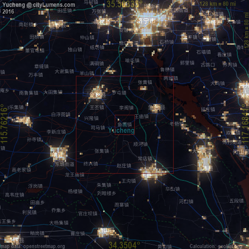

Analysis of Yucheng night lights 2016
Square area 10x10 km:
 0%
0%90-99
0%80-89
0.73%70-79
0%60-69
0%50-59
0%40-49
0%30-39
0%20-29
0.18%10-19
0.55%0-9
98.53%Square area 50x50 km:
0.11%90-99
0.44%80-89
0.77%70-79
0.67%60-69
0.72%50-59
0.97%40-49
0.5%30-39
0.67%20-29
0.76%10-19
3.2%0-9
91.17%Clear (daylight) street map image can be seen on geolist.org.
Map coordinates:
35° 30' 12" North, 115° 45' 43.8" East
34° 55' 44" North, 116° 27' 55" East
34° 21' 1.4" North, 117° 10' 6.3" East
Some cities around Yucheng sort by population:
• Jining
54 km =33.6 mi,  11°
11°
• Zoucheng
69.4 km =43.1 mi,  40°
40°
• Xiazhen
60.6 km =37.7 mi,  103°
103°
• Chengtangcun
68.3 km =42.4 mi,  75°
75°
• Shancheng
38 km =23.6 mi,  246°
246°
• Tangzhai
56.3 km =35 mi,  168°
168°
• Juye
62.1 km =38.6 mi,  326°
326°
• Fengxian
27.4 km =17 mi,  156°
156°
1785980 (p: 62,365)
Sources (retrieved 2019-11-25):
» NASA, Earths city lights 1995
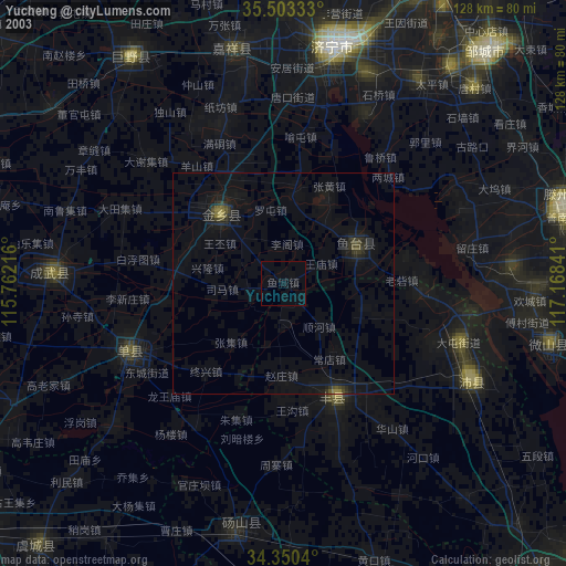
» NASA city lights 2003
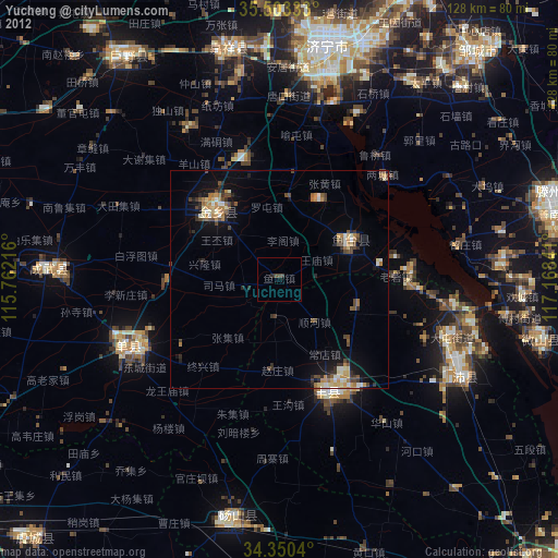
» Earth at Night: Flat Maps 2012, 2016