Wucheng night lights from space
Night Light of Wucheng (Anhui) from space (China) Src. Average luminocity for 10x10km area is 0% and for 50x50km: 2.1914%.
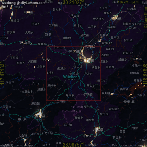


Analysis of Wucheng night lights 2016
Square area 10x10 km:
 0%
0%90-99
0%80-89
0%70-79
0%60-69
0%50-59
0%40-49
0%30-39
0%20-29
0%10-19
0%0-9
100%Square area 50x50 km:
0.09%90-99
0.24%80-89
0.32%70-79
0.28%60-69
0.27%50-59
0.39%40-49
0.54%30-39
0.2%20-29
0.33%10-19
2.34%0-9
95%Clear (daylight) street map image can be seen on geolist.org.
Map coordinates:
30° 12' 37" North, 117° 28' 18.6" East
29° 36' 2.8" North, 118° 10' 29.8" East
28° 59' 15.3" North, 118° 52' 41.1" East
Some cities around Wucheng sort by population:
• Anqing
148.6 km =92.3 mi,  313°
313°
• Shangrao
129.7 km =80.6 mi,  190°
190°
• Jingdezhen
99.6 km =61.9 mi,  250°
250°
• Chizhou
135.6 km =84.3 mi,  330°
330°
• Jinhua
152.6 km =94.8 mi,  111°
111°
• Quzhou
98 km =60.9 mi,  136°
136°
• Huangshan
18.1 km =11.2 mi,  47°
47°
• Lanxi
132.7 km =82.5 mi, 108°
1791347 (p: 60,212)
Sources (retrieved 2019-11-25):
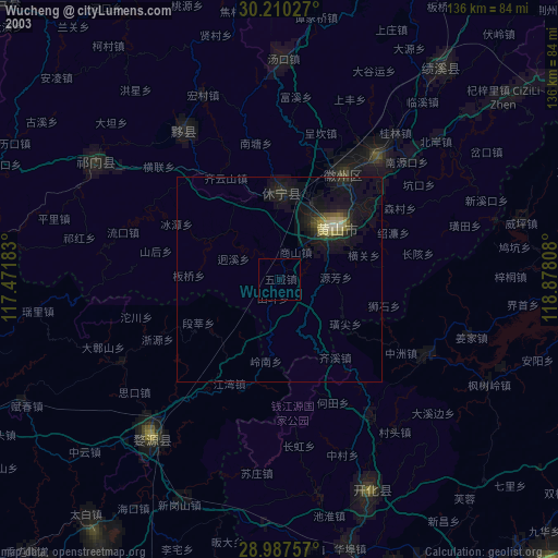
» NASA, Earths city lights 1995
» NASA city lights 2003
» Earth at Night: Flat Maps 2012, 2016