Jingdezhen night lights from space
Night Light of Jingdezhen (Jiangxi) from space (China) Src. Average luminocity for 10x10km area is 62.2311% and for 50x50km: 4.9162%.
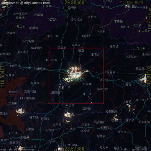
Analysis of Jingdezhen night lights 2016
Square area 10x10 km:
 15.15%
90-99
19.89%80-89
3.79%70-79
7.58%60-69
5.49%50-59
5.49%40-49
9.85%30-39
8.33%20-29
16.67%10-19
7.39%0-9
0.38%Square area 50x50 km:
0.66%90-99
0.94%80-89
0.51%70-79
0.72%60-69
0.56%50-59
0.49%40-49
0.66%30-39
0.66%20-29
1.53%10-19
3.58%0-9
89.7%Clear (daylight) street map image can be seen on geolist.org.
Map coordinates:
29° 54' 21.8" North, 116° 30' 17.2" East
29° 17' 40.9" North, 117° 12' 28.4" East
28° 40' 46.8" North, 117° 54' 39.7" East
Some cities around Jingdezhen sort by population:
• Nanchang
148.2 km =92.1 mi,  242°
242°
• Anqing
136.4 km =84.8 mi,  353°
353°
• Shangrao
117.9 km =73.3 mi,  142°
142°
• Jiujiang
125.3 km =77.9 mi,  291°
291°
• Huangshan
116.5 km =72.4 mi,  66°
66°
• Guixi
111.9 km =69.5 mi,  179°
179°
• Poyang
62.3 km =38.7 mi, 237°
• Wucheng
99.6 km =61.9 mi, 70°
1805680 (p: 310,565)
Sources (retrieved 2019-11-25):
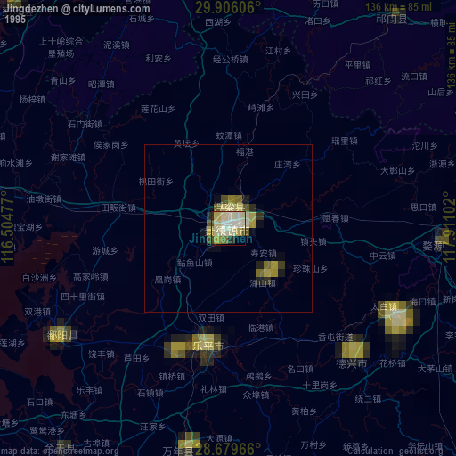
» NASA, Earths city lights 1995
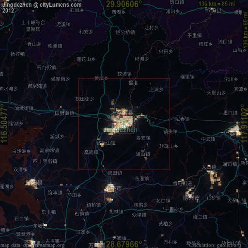
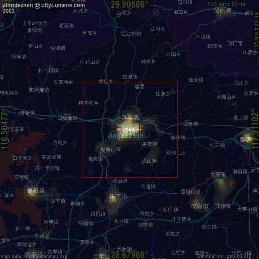
» NASA city lights 2003
» Earth at Night: Flat Maps 2012, 2016