Lanxi night lights from space
Night Light of Lanxi (Zhejiang) from space (China) Src. Average luminocity for 10x10km area is 46.1329% and for 50x50km: 14.3388%.
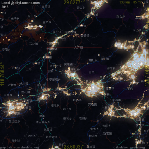
Analysis of Lanxi night lights 2016
Square area 10x10 km:
 7.14%
7.14%90-99
6.55%80-89
7.34%70-79
3.57%60-69
6.55%50-59
7.34%40-49
10.71%30-39
13.69%20-29
13.89%10-19
17.66%0-9
5.56%Square area 50x50 km:
1.51%90-99
1.76%80-89
2.35%70-79
1.89%60-69
2.04%50-59
2.42%40-49
2.38%30-39
2.27%20-29
3.47%10-19
9.03%0-9
70.87%Clear (daylight) street map image can be seen on geolist.org.
Map coordinates:
29° 49' 39.8" North, 118° 46' 6.4" East
29° 12' 57.2" North, 119° 28' 17.6" East
28° 36' 1.3" North, 120° 10' 28.9" East
Some cities around Lanxi sort by population:
• Puyang
48.5 km =30.1 mi,  56°
56°
• Guli
66 km =41 mi,  124°
124°
• Jinhua
20.7 km =12.9 mi,  125°
125°
• Dongyang
73.4 km =45.6 mi,  85°
85°
• Zhuji
93.2 km =57.9 mi,  53°
53°
• Lishui
94.2 km =58.5 mi,  153°
153°
• Yiwu
59.7 km =37.1 mi,  79°
79°
• Quzhou
65.2 km =40.5 mi,  244°
244°
1804442 (p: 73,706)
Sources (retrieved 2019-11-25):
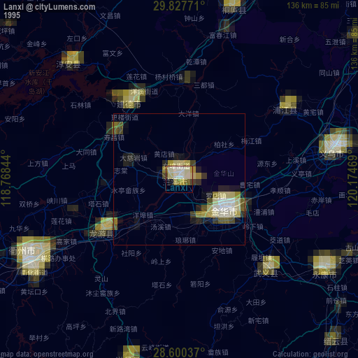
» NASA, Earths city lights 1995
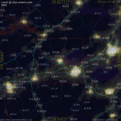
» NASA city lights 2003
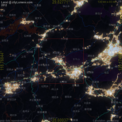
» Earth at Night: Flat Maps 2012, 2016