Jiagedaqi night lights from space
Night Light of Jiagedaqi (Inner Mongolia) from space (China) Src. Average luminocity for 10x10km area is 4.2773% and for 50x50km: 0.1955%.
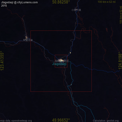
Analysis of Jiagedaqi night lights 2016
Square area 10x10 km:
 0%
0%90-99
0.28%80-89
0.28%70-79
0%60-69
1.68%50-59
1.12%40-49
1.12%30-39
1.4%20-29
1.96%10-19
0.56%0-9
91.6%Square area 50x50 km:
0%90-99
0.01%80-89
0.03%70-79
0.01%60-69
0.07%50-59
0.04%40-49
0.04%30-39
0.08%20-29
0.08%10-19
0.02%0-9
99.63%Clear (daylight) street map image can be seen on geolist.org.
Map coordinates:
50° 51' 45.3" North, 123° 24' 48.8" East
50° 25' 0" North, 124° 7' 0" East
49° 57' 59.5" North, 124° 49' 11.3" East
Some cities around Jiagedaqi sort by population:
• Blagoveshchensk, RU
243.4 km =151.2 mi,  93°
93°
• Yakeshi
273.3 km =169.8 mi,  242°
242°
• Heihe
240.2 km =149.3 mi, 94°
• Nehe
221.1 km =137.4 mi,  166°
166°
• Nenjiang
159.2 km =98.9 mi,  150°
150°
• Genhe
188 km =116.8 mi,  282°
282°
• Oroqen Zizhiqi
32.8 km =20.4 mi,  300°
300°
• Tahe
217.4 km =135.1 mi,  11°
11°
2036597 (p: 135,760)
Sources (retrieved 2019-11-25):
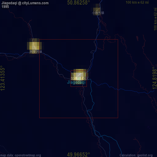
» NASA, Earths city lights 1995
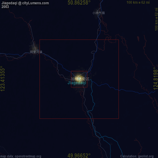
» NASA city lights 2003
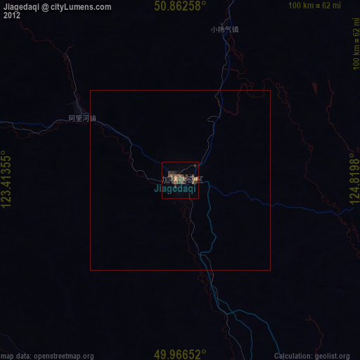
» Earth at Night: Flat Maps 2012, 2016