Pingshan night lights from space
Night Light of Pingshan (Guangdong) from space (China) Src. Average luminocity for 10x10km area is 63.0238% and for 50x50km: 20.5059%.
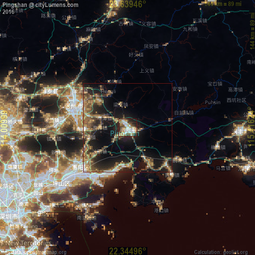
Analysis of Pingshan night lights 2016
Square area 10x10 km:
 15.08%
90-99
13.49%80-89
7.14%70-79
10.91%60-69
8.13%50-59
7.54%40-49
9.13%30-39
10.71%20-29
10.52%10-19
7.14%0-9
0.2%Square area 50x50 km:
1.43%90-99
1.66%80-89
1.99%70-79
3.55%60-69
3.48%50-59
4.49%40-49
4.82%30-39
4.25%20-29
6.84%10-19
15.82%0-9
51.66%Clear (daylight) street map image can be seen on geolist.org.
Map coordinates:
23° 38' 22.1" North, 114° 0' 36" East
22° 59' 37.5" North, 114° 42' 47.2" East
22° 20' 41.9" North, 115° 24' 58.5" East
Some cities around Pingshan sort by population:
• Shenzhen
82.8 km =51.4 mi,  232°
232°
• Huizhou
33.2 km =20.6 mi,  293°
293°
• Shanwei
69.1 km =42.9 mi,  109°
109°
• Danshui
33.3 km =20.7 mi, 229°
• Luoyang
48.7 km =30.3 mi, 292°
• Heyuan
82.3 km =51.1 mi,  357°
357°
• Tai Po, HK
82.3 km =51.1 mi,  222°
222°
• Sai Kung, HK
81.9 km =50.9 mi,  214°
214°
1798713 (p: 113,631)
Sources (retrieved 2019-11-25):
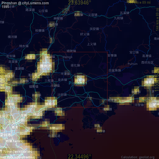
» NASA, Earths city lights 1995
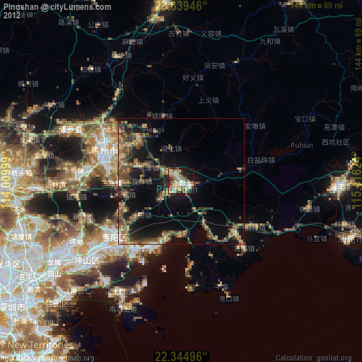
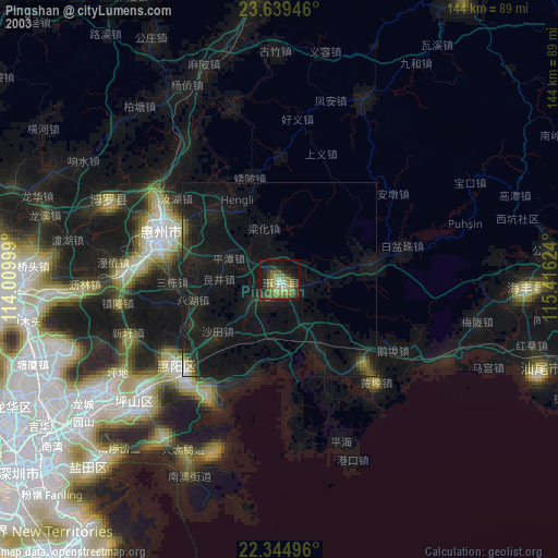
» NASA city lights 2003
» Earth at Night: Flat Maps 2012, 2016