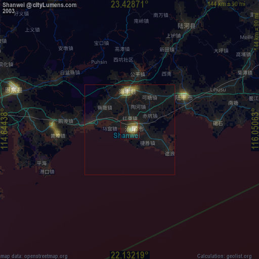
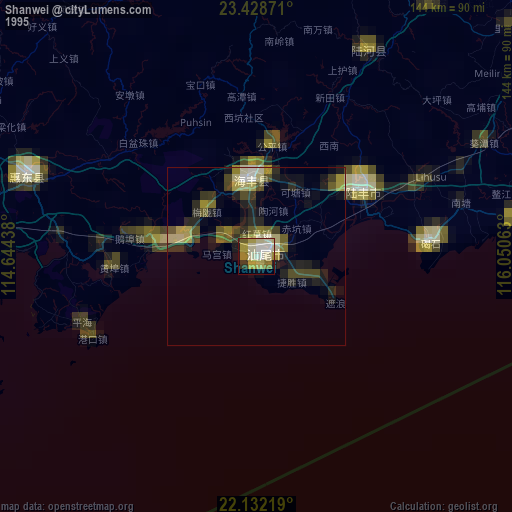
Shanwei night lights from space
Night Light of Shanwei (Guangdong) from space (China) Src. Average luminocity for 10x10km area is 36.8869% and for 50x50km: 9.1395%.

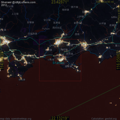
Analysis of Shanwei night lights 2016
Square area 10x10 km:
 5.16%
5.16%90-99
5.16%80-89
2.18%70-79
8.93%60-69
4.96%50-59
4.37%40-49
5.75%30-39
5.36%20-29
11.11%10-19
34.72%0-9
12.3%Square area 50x50 km:
0.7%90-99
0.64%80-89
0.8%70-79
1.73%60-69
1.2%50-59
1.51%40-49
1.69%30-39
1.8%20-29
2.8%10-19
6.95%0-9
80.18%Clear (daylight) street map image can be seen on geolist.org.
Map coordinates:
23° 25' 43.4" North, 114° 38' 39.8" East
22° 46' 55.2" North, 115° 20' 51" East
22° 7' 55.9" North, 116° 3' 2.3" East
Some cities around Shanwei sort by population:
• Huizhou
102.2 km =63.5 mi,  290°
290°
• Donghai
35.3 km =21.9 mi,  58°
58°
• Jieshi
49.6 km =30.8 mi,  86°
86°
• Hepo
87.4 km =54.3 mi,  34°
34°
• Jiazi
75.1 km =46.7 mi,  81°
81°
• Danshui
90.3 km =56.1 mi,  271°
271°
• Huicheng
100.6 km =62.5 mi,  73°
73°
• Pingshan
69.1 km =42.9 mi, 289°
1795928 (p: 165,699)
Sources (retrieved 2019-11-25):
» NASA, Earths city lights 1995
» NASA city lights 2003
» Earth at Night: Flat Maps 2012, 2016