Luoyang night lights from space
Night Light of Luoyang (Guangdong) from space (China) Src. Average luminocity for 10x10km area is 52.4716% and for 50x50km: 37.4264%.
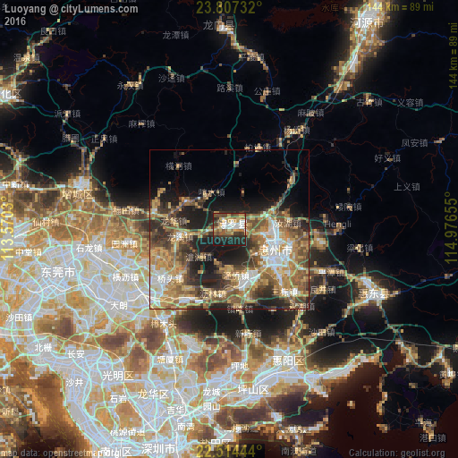
Analysis of Luoyang night lights 2016
Square area 10x10 km:
 8.33%
8.33%90-99
8.33%80-89
5.68%70-79
11.36%60-69
6.82%50-59
7.01%40-49
9.66%30-39
12.69%20-29
16.67%10-19
13.45%0-9
0%Square area 50x50 km:
4.37%90-99
5.29%80-89
4.53%70-79
8.19%60-69
6.69%50-59
7.56%40-49
7.1%30-39
6.37%20-29
8.62%10-19
11.85%0-9
29.42%Clear (daylight) street map image can be seen on geolist.org.
Map coordinates:
23° 48' 26.4" North, 113° 34' 13.1" East
23° 9' 44.8" North, 114° 16' 24.3" East
22° 30' 52" North, 114° 58' 35.6" East
Some cities around Luoyang sort by population:
• Shenzhen
71.7 km =44.6 mi,  197°
197°
• Dongguan
56 km =34.8 mi,  253°
253°
• Huizhou
15.6 km =9.7 mi,  111°
111°
• Humen
72.4 km =45 mi,  238°
238°
• Licheng
48.2 km =30 mi,  287°
287°
• Danshui
45.1 km =28 mi,  153°
153°
• Pingshan
48.7 km =30.3 mi, 112°
• Shilong
43.9 km =27.3 mi,  263°
263°
1801799 (p: 123,144)
Sources (retrieved 2019-11-25):
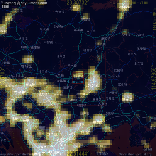
» NASA, Earths city lights 1995
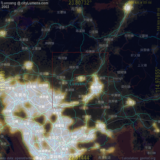
» NASA city lights 2003
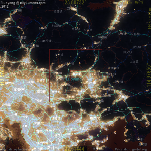
» Earth at Night: Flat Maps 2012, 2016