Ducheng night lights from space
Night Light of Ducheng (Guangdong) from space (China) Src. Average luminocity for 10x10km area is 19.9508% and for 50x50km: 2.5253%.
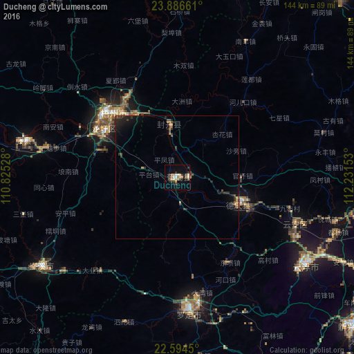
Analysis of Ducheng night lights 2016
Square area 10x10 km:
 1.14%
1.14%90-99
3.98%80-89
2.08%70-79
1.89%60-69
3.79%50-59
1.52%40-49
3.79%30-39
4.17%20-29
3.6%10-19
9.09%0-9
64.96%Square area 50x50 km:
0.05%90-99
0.18%80-89
0.27%70-79
0.35%60-69
0.34%50-59
0.3%40-49
0.53%30-39
0.69%20-29
0.84%10-19
1.84%0-9
94.62%Clear (daylight) street map image can be seen on geolist.org.
Map coordinates:
23° 53' 11.8" North, 110° 49' 31" East
23° 14' 31.6" North, 111° 31' 42.2" East
22° 35' 40.2" North, 112° 13' 53.5" East
Some cities around Ducheng sort by population:
• Yunfu
62.9 km =39.1 mi,  123°
123°
• Zhaoqing
97.7 km =60.7 mi,  102°
102°
• Wuzhou
34.4 km =21.4 mi,  321°
321°
• Lubu
77.5 km =48.2 mi, 95°
• Huaicheng
100.2 km =62.3 mi,  41°
41°
• Nanfeng
60.5 km =37.6 mi,  26°
26°
• Nandu
84.1 km =52.3 mi,  239°
239°
• Jinji
71.8 km =44.6 mi,  268°
268°
1811929 (p: 95,525)
Sources (retrieved 2019-11-25):
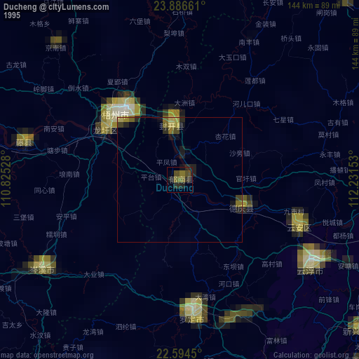
» NASA, Earths city lights 1995
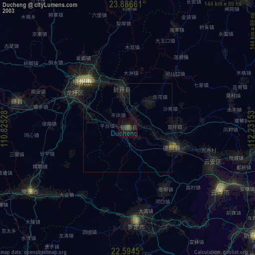
» NASA city lights 2003
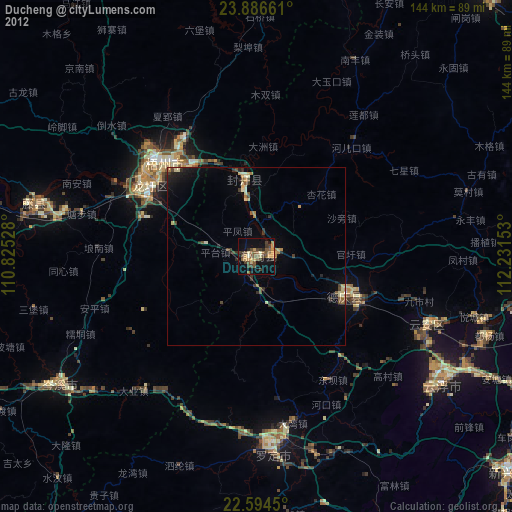
» Earth at Night: Flat Maps 2012, 2016