Lubu night lights from space
Night Light of Lubu (Guangdong) from space (China) Src. Average luminocity for 10x10km area is 13.428% and for 50x50km: 10.9137%.
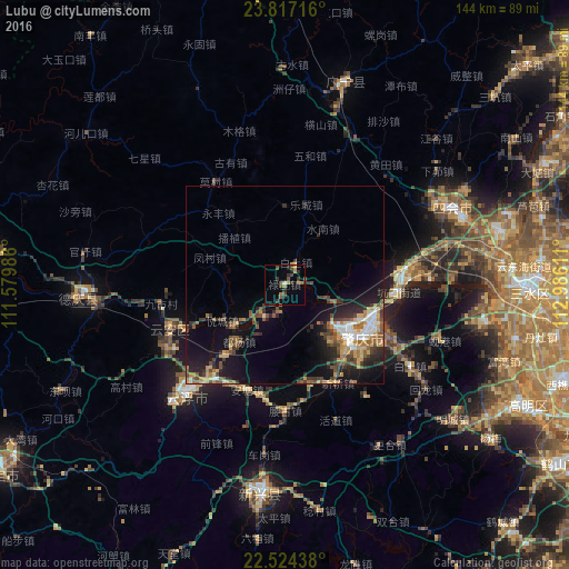
Analysis of Lubu night lights 2016
Square area 10x10 km:
 0%
0%90-99
0%80-89
0.95%70-79
1.52%60-69
3.6%50-59
1.14%40-49
5.87%30-39
4.92%20-29
3.6%10-19
1.33%0-9
77.08%Square area 50x50 km:
1.01%90-99
1.19%80-89
0.93%70-79
1.79%60-69
1.7%50-59
1.92%40-49
2.16%30-39
2.52%20-29
2.89%10-19
6.87%0-9
77.01%Clear (daylight) street map image can be seen on geolist.org.
Map coordinates:
23° 49' 1.8" North, 111° 34' 47.5" East
23° 10' 20.4" North, 112° 16' 58.7" East
22° 31' 27.8" North, 112° 59' 10" East
Some cities around Lubu sort by population:
• Yunfu
36.8 km =22.9 mi,  222°
222°
• Zhaoqing
22.8 km =14.2 mi,  127°
127°
• Sanshui
62.2 km =38.6 mi,  91°
91°
• Shaping
82.3 km =51.1 mi,  122°
122°
• Ducheng
77.5 km =48.2 mi,  275°
275°
• Huaicheng
83.8 km =52.1 mi,  352°
352°
• Nanfeng
79.1 km =49.2 mi,  321°
321°
• Shiwan
83.4 km =51.8 mi,  103°
103°
1802177 (p: 95,820)
Sources (retrieved 2019-11-25):
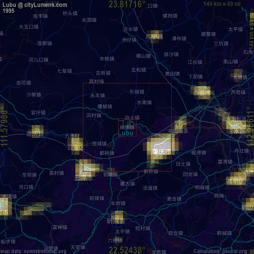
» NASA, Earths city lights 1995
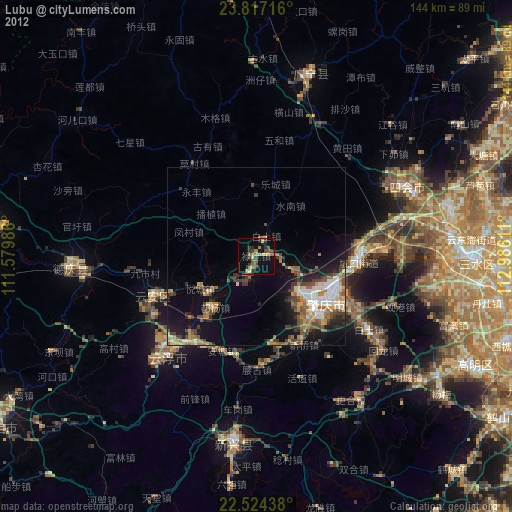
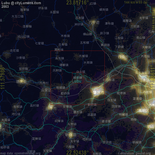
» NASA city lights 2003
» Earth at Night: Flat Maps 2012, 2016