Yunfu night lights from space
Night Light of Yunfu (Guangdong) from space (China) Src. Average luminocity for 10x10km area is 47.256% and for 50x50km: 9.786%.
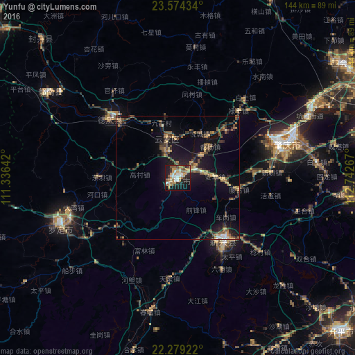
Analysis of Yunfu night lights 2016
Square area 10x10 km:
 5.95%
5.95%90-99
9.33%80-89
5.36%70-79
11.11%60-69
7.54%50-59
7.34%40-49
4.37%30-39
5.75%20-29
9.92%10-19
29.17%0-9
4.17%Square area 50x50 km:
0.45%90-99
0.67%80-89
0.8%70-79
1.48%60-69
1.49%50-59
1.96%40-49
2.1%30-39
2.49%20-29
2.48%10-19
8.6%0-9
77.48%Clear (daylight) street map image can be seen on geolist.org.
Map coordinates:
23° 34' 27.6" North, 111° 20' 11.1" East
22° 55' 42" North, 112° 2' 22.3" East
22° 16' 45.2" North, 112° 44' 33.6" East
Some cities around Yunfu sort by population:
• Zhaoqing
45.2 km =28.1 mi,  72°
72°
• Sanshui
90.7 km =56.4 mi, 73°
• Yangchun
88.7 km =55.1 mi,  197°
197°
• Encheng
86.8 km =53.9 mi,  161°
161°
• Shaping
95.7 km =59.5 mi,  100°
100°
• Lubu
36.8 km =22.9 mi,  42°
42°
• Ducheng
62.9 km =39.1 mi,  303°
303°
• Nanfeng
92.2 km =57.3 mi,  344°
344°
1785725 (p: 2,612,800)
Sources (retrieved 2019-11-25):
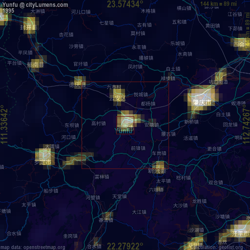
» NASA, Earths city lights 1995
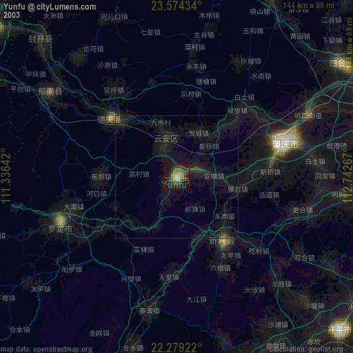
» NASA city lights 2003
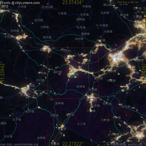
» Earth at Night: Flat Maps 2012, 2016