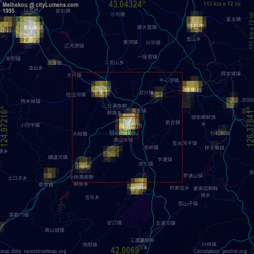
Meihekou night lights from space
Night Light of Meihekou (Jilin) from space (China) Src. Average luminocity for 10x10km area is 22.619% and for 50x50km: 1.9183%.
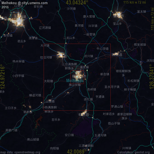

Analysis of Meihekou night lights 2016
Square area 10x10 km:
 0.16%
0.16%90-99
3.65%80-89
1.9%70-79
3.65%60-69
5.87%50-59
3.17%40-49
6.51%30-39
5.24%20-29
1.75%10-19
14.92%0-9
53.17%Square area 50x50 km:
0.09%90-99
0.19%80-89
0.26%70-79
0.21%60-69
0.4%50-59
0.26%40-49
0.34%30-39
0.48%20-29
0.15%10-19
1%0-9
96.61%Clear (daylight) street map image can be seen on geolist.org.
Map coordinates:
43° 2' 35.7" North, 124° 58' 19.8" East
42° 31' 38" North, 125° 40' 31" East
42° 0' 24.8" North, 126° 22' 42.3" East
Some cities around Meihekou sort by population:
• Liaoyuan
60.8 km =37.8 mi,  313°
313°
• Panshi
55.6 km =34.5 mi,  33°
33°
• Chaoyang
32.4 km =20.1 mi,  62°
62°
• Dongfeng
18.4 km =11.4 mi, 313°
• Liuhe
32.1 km =19.9 mi,  173°
173°
• Huinan
49.1 km =30.5 mi,  77°
77°
• Xifeng
81.4 km =50.6 mi,  286°
286°
• Erdaojiang
88.5 km =55 mi,  160°
160°
2035801 (p: 99,419)
Sources (retrieved 2019-11-25):
» NASA, Earths city lights 1995
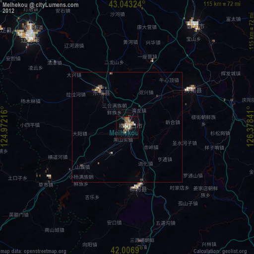
» NASA city lights 2003
» Earth at Night: Flat Maps 2012, 2016