Liuhe night lights from space
Night Light of Liuhe (Jilin) from space (China) Src. Average luminocity for 10x10km area is 4.8636% and for 50x50km: 0.4694%.
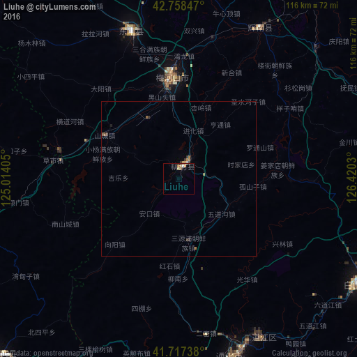
Analysis of Liuhe night lights 2016
Square area 10x10 km:
 0.3%
0.3%90-99
0.61%80-89
1.36%70-79
1.36%60-69
0.61%50-59
0.3%40-49
0%30-39
0.61%20-29
0%10-19
0.61%0-9
94.24%Square area 50x50 km:
0.01%90-99
0.04%80-89
0.06%70-79
0.08%60-69
0.16%50-59
0.05%40-49
0%30-39
0.2%20-29
0.03%10-19
0.04%0-9
99.32%Clear (daylight) street map image can be seen on geolist.org.
Map coordinates:
42° 45' 30.5" North, 125° 0' 50.6" East
42° 14' 24.3" North, 125° 43' 1.8" East
41° 43' 2.6" North, 126° 25' 13.1" East
Some cities around Liuhe sort by population:
• Tonghua
60.4 km =37.5 mi,  163°
163°
• Baishan
67 km =41.6 mi,  120°
120°
• Meihekou
32.1 km =19.9 mi,  353°
353°
• Chaoyang
53.4 km =33.2 mi,  28°
28°
• Dongfeng
47.6 km =29.6 mi,  339°
339°
• Sanchazi
74.9 km =46.5 mi,  103°
103°
• Huinan
61.7 km =38.3 mi,  46°
46°
• Erdaojiang
57.7 km =35.9 mi,  153°
153°
2036033 (p: 66,975)
Sources (retrieved 2019-11-25):
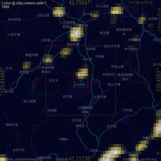
» NASA, Earths city lights 1995
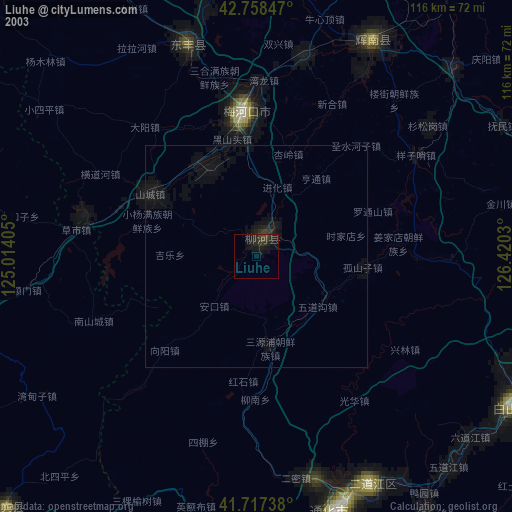
» NASA city lights 2003
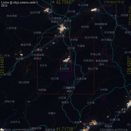
» Earth at Night: Flat Maps 2012, 2016